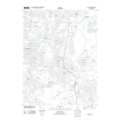
2011 Map of Clementon
USGS Topo · Published 2011About this map
Berlin and the surrounding South Jersey townships are characterized by a dense network of suburban development and numerous small lakes. This 2011 survey illustrates the intensive residential growth in areas like Lindenwold and Gibbsboro, while still retaining pockets of its earlier industrial and agrarian identity. The landscape is dotted with water bodies such as Clementon Lake and Jennings Lake, often associated with historical milling operations like Tomlinson Mill and Union Mills.
Find a feature on this map
88 named features on this map. Tap any name to fly to it.
Don’t see what you’re looking for? This feature index may not catch every label — zoom into the map to look around manually.
Map Details
Editions of this 2011 Clementon Map
This is the sole edition of this map. No revisions or reprints were ever made.
Other maps of this area

1888 · Mount Holly
USGS Topo · 1:62,500

1890 · Hammonton
USGS Topo · 1:62,500

1890 · Glassboro
USGS Topo · 1:62,500

1891 · Philadelphia
USGS Topo · 1:62,500

1894 · Hammonton
USGS Topo · 1:62,500

1894 · Mount Holly
USGS Topo · 1:62,500

1894 · Philadelphia
USGS Topo · 1:62,500

1896 · Philadelphia
USGS Topo · 1:62,500

1898 · Glassboro
USGS Topo · 1:62,500

1898 · Philadelphia
USGS Topo · 1:62,500