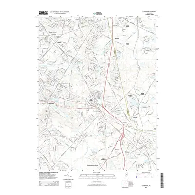
2014 Map of Clementon
USGS Topo · Published 2014About this map
The Great Egg Harbor River and the N Br Big Timber Creek define the hydrologic character of this Camden County landscape, which by 2014 was a mosaic of established residential hubs and preserved suburban waterways. Significant industrial and local heritage sites include Tomlinson Mill and Union Mills in the north, while the southern reaches are marked by the aviation presence at Camden County Airport. The settlement pattern is particularly dense around Clementon, where Clementon Lake and Silver Lake provide a central focus near Sharps Corner. Transportation corridors like the White Horse Pike and Taunton Road connect a series of distinct neighborhoods from Woodcrest and Glendale down to Williamstown Junction and Atco. Several local landmarks such as Berlin Cemetery and the Gate of Heaven Cemetery provide important points of reference for genealogists tracking family history across these South Jersey townships.
Find a feature on this map
89 named features on this map. Tap any name to fly to it.
Don’t see what you’re looking for? This feature index may not catch every label — zoom into the map to look around manually.
Map Details
Editions of this 2014 Clementon Map
This is the sole edition of this map. No revisions or reprints were ever made.
Other maps of this area

1888 · Mount Holly
USGS Topo · 1:62,500

1890 · Hammonton
USGS Topo · 1:62,500

1890 · Glassboro
USGS Topo · 1:62,500

1891 · Philadelphia
USGS Topo · 1:62,500

1894 · Hammonton
USGS Topo · 1:62,500

1894 · Mount Holly
USGS Topo · 1:62,500

1894 · Philadelphia
USGS Topo · 1:62,500

1896 · Philadelphia
USGS Topo · 1:62,500

1898 · Glassboro
USGS Topo · 1:62,500

1898 · Philadelphia
USGS Topo · 1:62,500