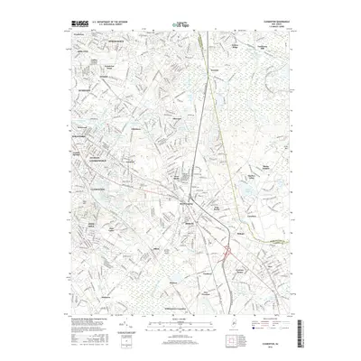
2016 Map of Clementon
USGS Topo · Published 2016About this map
Clementon and its surrounding borough-landscapes are defined by a dense network of suburban residential development and a series of recreational lakes that follow the drainage patterns of the N Br Big Timber Cr and the Be Cooper River. The transit-oriented layout of the mid-2010s is anchored by the White Horse Pike and United States Ave W, which link established communities like Lindenwold, Stratford, and Berlin.
Find a feature on this map
79 named features on this map. Tap any name to fly to it.
Don’t see what you’re looking for? This feature index may not catch every label — zoom into the map to look around manually.
Map Details
Editions of this 2016 Clementon Map
This is the sole edition of this map. No revisions or reprints were ever made.
Other maps of this area

1888 · Mount Holly
USGS Topo · 1:62,500

1890 · Hammonton
USGS Topo · 1:62,500

1890 · Glassboro
USGS Topo · 1:62,500

1891 · Philadelphia
USGS Topo · 1:62,500

1894 · Hammonton
USGS Topo · 1:62,500

1894 · Mount Holly
USGS Topo · 1:62,500

1894 · Philadelphia
USGS Topo · 1:62,500

1896 · Philadelphia
USGS Topo · 1:62,500

1898 · Glassboro
USGS Topo · 1:62,500

1898 · Philadelphia
USGS Topo · 1:62,500