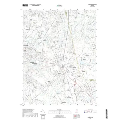
2019 Map of Clementon
USGS Topo · Published 2019About this map
Berlin and Clementon anchor this suburban landscape where the developed reaches of South Jersey meet the headwaters of several major drainage systems. The map illustrates a complex network of residential communities such as Echelon, Gibbsboro, and Pine Hill, many of which formed around small lakes like Kirkwood Lake and Silver Lake. This area serves as a significant hydrological divide, where the Great Egg Harbor River flows south, while the Cooper River and Mullica River systems originate among the low-lying wetlands.
Find a feature on this map
80 named features on this map. Tap any name to fly to it.
Don’t see what you’re looking for? This feature index may not catch every label — zoom into the map to look around manually.
Map Details
Editions of this 2019 Clementon Map
This is the sole edition of this map. No revisions or reprints were ever made.
Other maps of this area

1888 · Mount Holly
USGS Topo · 1:62,500

1890 · Hammonton
USGS Topo · 1:62,500

1890 · Glassboro
USGS Topo · 1:62,500

1891 · Philadelphia
USGS Topo · 1:62,500

1894 · Hammonton
USGS Topo · 1:62,500

1894 · Mount Holly
USGS Topo · 1:62,500

1894 · Philadelphia
USGS Topo · 1:62,500

1896 · Philadelphia
USGS Topo · 1:62,500

1898 · Glassboro
USGS Topo · 1:62,500

1898 · Philadelphia
USGS Topo · 1:62,500