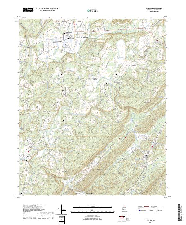
2024 Map of Cleveland
USGS Topo · Published 2024About this map
Cleveland serves as a central hub in this portion of Blount County, situated at the confluence of several regional roads and near the waters of Hazerig Lake. The landscape is defined by the parallel ridges of Sand Mountain and Straight Mountain, creating the distinct corridor of Murphree Valley. This topography historically dictated the paths of transport and settlement, as seen in the placement of communities like Allgood and Graystone along the CSX Transportation line. Local heritage is deeply rooted in the many small family and community burial grounds, including the Old Presbyterian Church Site Cem and Cleveland Methodist Cem. The presence of Hendrick Mill on the southern edge and various labeled gaps and bends along the Little Warrior River illustrate a landscape where industry and geography have long been intertwined.
Find a feature on this map
172 named features on this map. Tap any name to fly to it.
Don’t see what you’re looking for? This feature index may not catch every label — zoom into the map to look around manually.
Map Details
Editions of this 2024 Cleveland Map
This is the sole edition of this map. No revisions or reprints were ever made.
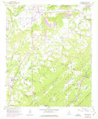
Historical Maps of Fairview Through Time
3 maps found