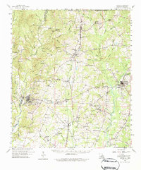
1958 Map of Clinton
USGS Topo · Published 1984About this map
Jackson and Clinton anchor this mid-century portrait of East Feliciana Parish, a landscape defined by the drainage systems of Thompson Creek, Redwood Creek, and Comite Creek. The Illinois Central railroad serves as the primary corridor for commerce and travel, linking small rural hamlets like Wilson, Gurley, and Ethel. A significant portion of the social geography is dedicated to institutional sites, notably the expansive State Asylum and multiple numbered locations of the State Hospital Colony, reflecting the historical concentration of state facilities in this region. The map reveals a dense network of country churches and family-named cemeteries, such as Morning Glory Ch and Dubose Cem, which provide essential clues for genealogists tracking local families near the Mississippi border. This survey captures the parish at a moment when small-scale agriculture and institutional history remained central to the local economy.
Find a feature on this map
122 named features on this map. Tap any name to fly to it.
Don’t see what you’re looking for? This feature index may not catch every label — zoom into the map to look around manually.
Map Details
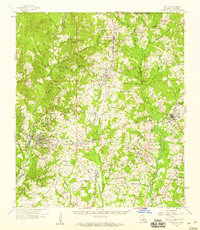
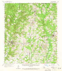
Editions of this 1958 Clinton Map
3 editions found
Other maps of this area

1906 · Bayou Sara
USGS Topo · 1:125,000

1936 · Woodville
USGS Topo · 1:62,500

1939 · St. Francisville
USGS Topo · 1:62,500

1939 · Zachary
USGS Topo · 1:62,500

1941 · Woodland
USGS Topo · 1:31,680

1941 · Norwood
USGS Topo · 1:31,680

1941 · Lost Creek
USGS Topo · 1:31,680

1942 · Pride
USGS Topo · 1:31,680

1945 · Norwood
USGS Topo · 1:31,680

1945 · Jackson
USGS Topo · 1:31,680