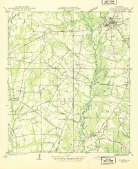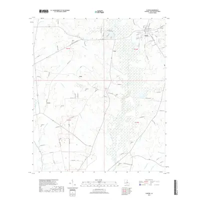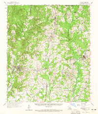
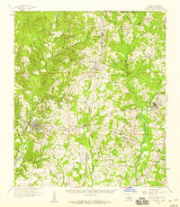
1958 Map of Clinton
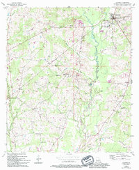
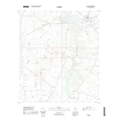
USGS Topo · Published 1965About this map
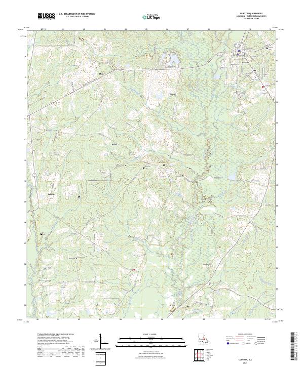
East Louisiana State Hospital dominates the landscape near Jackson, anchoring an area of intensive institutional development with its numerous outlying colonies, including State Hospital Colony No 1 and State Hospital Colony No 2. This region of East Feliciana Parish is defined by the Illinois Central corridor, which connects several mid-century railroad settlements like Wilson, Gurley, and McManus. The terrain is deeply incised by the drainage systems of Thompson Creek and Redwood Creek, creating a network of ridges and bottoms that determined the placement of countless rural institutions. Genealogists will find a high density of country churches and family burial grounds, such as True Light Ch and the McQueen Cem, scattered throughout the rural hinterland between the timbered breaks and the cotton gins of Norwood.
Find a feature on this map
127 named features on this map. Tap any name to fly to it.
Don’t see what you’re looking for? This feature index may not catch every label — zoom into the map to look around manually.
Map Details
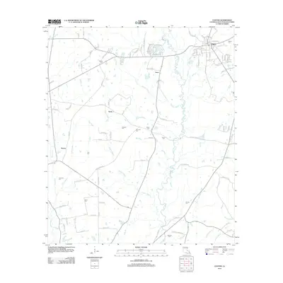
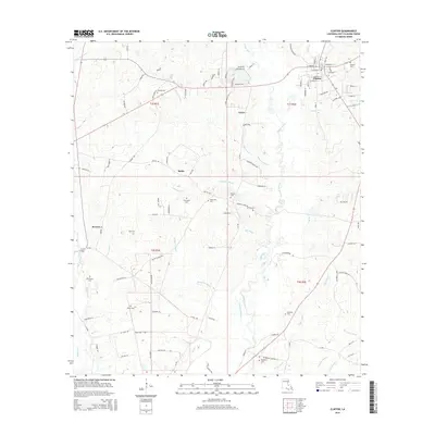
Editions of this 1958 Clinton Map
3 editions found
Historical Maps of Jackson Through Time
8 maps found