Old Maps of Wilson, Louisiana
Explore 23 old maps of Wilson, spanning from 1906 to today. These high-resolution historic maps reveal how streets, neighborhoods, landmarks, and natural features evolved over time — perfect for genealogy, metal detecting, research, and local history exploration.
What you can do with these maps:
- See how Wilson changed over time: Compare historical maps to modern-day views to trace roads, homesites, rail lines & more.
- View detailed metadata: Each map includes creators, publishers, year, scale, and archive source.
- Overlay maps with satellite & LiDAR: Visualize the past alongside modern tools to explore terrain & human change.
- Trusted historical sources: Maps sourced from the USGS, Library of Congress, and other archives.
- Access maps your way: View online, download high-res files, or order prints for personal or research use.
Start exploring old maps of Wilson to uncover forgotten places, hidden landmarks, and the deep history beneath your feet.
Wilson, LA maps
(23)- 1906 Map of Bayou Sara
 1906 Bayou Sara1906 Print · USGSThe Feliciana parishes and the Mississippi River bottomlands come to life in this early twentieth-century survey. Genealogists can trace family footprints through river-town settlements like St Francisville or find early rail stops such as Gayden Sta (Gurley P.O.) and Slaughter.3 unique versions available
 - 1941 Map of Norwood
 1941 Norwood1941 Print · USGSEast Feliciana Parish near the Mississippi border reveals its 1940s landscape of rural settlements and transport corridors. Genealogists can trace family roots through landmarks like Antioch Ch, Morning Glory Ch, and burial sites such as Beech Grove Cem.
 - 1941 Map of Lost Creek
 1941 Lost Creek1941 Print · USGSThe borderlands of East and West Feliciana Parish come alive in this early 1940s survey of rural Louisiana. Genealogists can trace family landmarks like Rogillioville, Hickory Grove Sch, and the Mc Queen Cem alongside the Illinois Central rail line.
 - 1945 Map of Norwood
 1945 Norwood1945 Print · USGSEast Feliciana Parish near the Mississippi border is shown here during the mid-1940s, centered on the Illinois Central rail line. Researchers can trace rural genealogy through landmarks like Pemble Cem, Morning Glory Ch, and the Industrial Training Sch.
 - 1945 Map of Lost Creek
 1945 Lost Creek1945 Print · USGSThe rural border of East and West Feliciana Parishes comes into focus in the mid-1940s, revealing a dense network of country schools and family cemeteries. Genealogists can trace the exact locations of Rogillio-ville, the Mc Queen Cem, and Hickory Grove Sch.
 - 1954 Map of Baton Rouge, 1974 Print
 1954 Baton Rouge1974 Print · USGSSoutheast Louisiana in the mid-fifties is captured here during a period of transition for its river and rail economies. Researchers can trace the path of the Mississippi River and find landmarks like the Bonnet Carre Spillway and Bayou Plaquemine.2 unique versions available
 - 1956 Map of Baton Rouge
 1956 Baton Rouge1956 Print · USGSSouth Louisiana at the height of the mid-century oil boom shows a landscape of river oxbows and rising industry. Researchers can trace family roots through river towns like Scotlandville or locate early industrial sites and Oil wells near Lake Maurepas.
 - 1958 Map of Clinton, 1959 Print
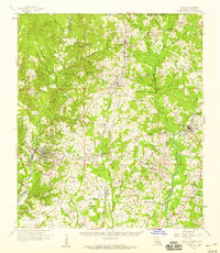 1958 Clinton1959 Print · USGSEast Feliciana Parish in the late fifties remains a landscape defined by its small towns, rail lines, and scattered family homesteads. Genealogists can trace roots at Richland Cem & Ch, find the Parish Industrial Training Sch, or follow the path of the old Plank Road.3 unique versions available
 - 1961 Map of Baton Rouge, 1966 Print
 1961 Baton Rouge1966 Print · USGSSoutheastern Louisiana in the early sixties remains a landscape of deep river bends and sprawling coastal lakes. Genealogists and historians can trace the rail-and-river economy through landmarks like Free-Nigger Point, Donaldsonville, and the Illinois Central Railroad.
 - 1962 Map of Baton Rouge
 1962 Baton Rouge1962 Print · USGSSouth Louisiana in the early sixties reveals a landscape of river-bend parishes and emerging interstate corridors. Genealogists and historians can trace family roots through historic river towns like Donaldsonville and Plaquemine, or follow the path of the Illinois Central Railroad through the swamp basins.
 - 1983 Map of New Roads
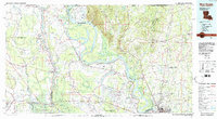 1983 New Roads1983 Print · USGSThe river parishes of central Louisiana are documented in the early 1980s, showcasing the winding courses of the Atchafalaya and Mississippi. Genealogists and historians can trace rail-served river towns like Melville and Simmesport, or locate the Port Hudson National Cem and the State Penitentiary.2 unique versions available
 - 1984 Map of Rogillioville, 1985 Print
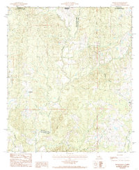 1984 Rogillioville1985 Print · USGSThe Louisiana-Mississippi borderlands come alive in this mid-1980s survey, showing the deep creek bottoms and rail-linked towns of the Felicianas. Genealogists can trace family landmarks and burial sites like Rogillioville, Wilson, and local Cem locations.
 - 1985 Map of Wilson
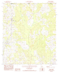 1985 Wilson1985 Print · USGSEast Feliciana Parish in the mid-1980s shows a landscape of rural settlements and winding bayous along the Mississippi border. Genealogists and historians can trace the Illinois Central Gulf rail line as it passes through Norwood and Wilson.
 - 2012 Map of Wilson, 2012 Print
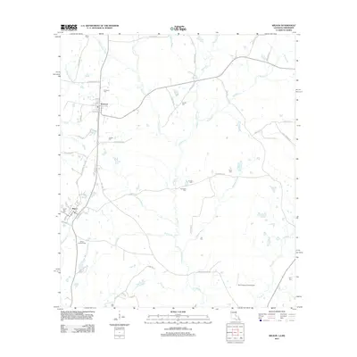 2012 Wilson2012 Print · USGSEast Feliciana Parish in the early 2010s remains a landscape of quiet bayous and deep-rooted family history. Genealogists can trace local lineages through numerous burial sites like Norwood Cem, Springhill Cem, and Easter Star Cem.
 - 2012 Map of Rogillioville, 2012 Print
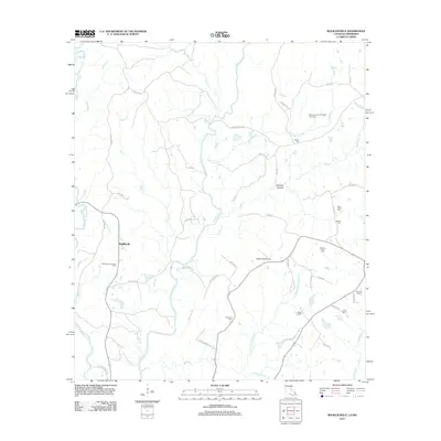 2012 Rogillioville2012 Print · USGSEast Feliciana Parish and the Mississippi border country appear here in the early twenty-first century, a landscape defined by winding creeks and rural industry. Researchers can trace family history at Pisgah Cem or McQueen Cem and locate landmarks like Rogillioville and Sydal Acres Airport.
 - 2015 Map of Rogillioville, 2015 Print
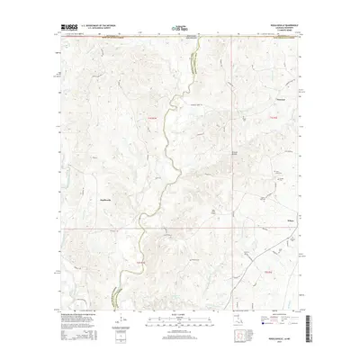 2015 Rogillioville2015 Print · USGSThe Louisiana-Mississippi borderlands near the parish line come to life in this contemporary survey. Genealogists and local historians can trace family roots through numerous sites like Pilgrims Rest Cem, Singletar Cem, and the settlement of Rogillioville.
 - 2015 Map of Wilson, 2015 Print
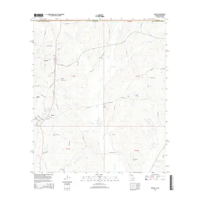 2015 Wilson2015 Print · USGSEast Feliciana Parish at the Mississippi border remains a landscape of winding bayous and small rural settlements during the mid-2010s. Genealogists can locate several local burial sites and landmarks like Norwood Cem, Springhill Ch, and Hickman Bottom.
 - 2018 Map of Rogillioville, 2018 Print
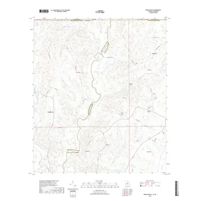 2018 Rogillioville2018 Print · USGSThe Louisiana-Mississippi borderlands come alive in this recent survey of the Feliciana Parishes. Genealogists and historians can trace family-named landmarks and rural burial sites like McQueen Cem, Sandel Cem, and the settlement of Rogillioville.
 - 2018 Map of Wilson, 2018 Print
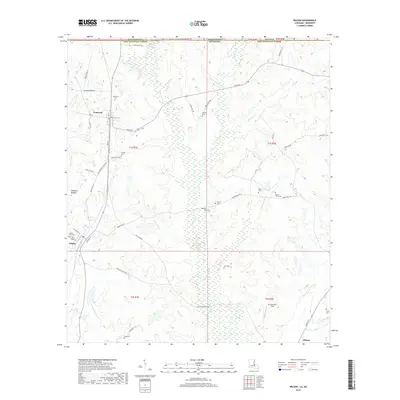 2018 Wilson2018 Print · USGSEast Feliciana Parish at the Louisiana border reveals a landscape of rural creek valleys and historic family burial grounds in the late 2010s. Trace local history through landmarks like Springhill Cem, Norwood, and the bottomlands of Thompson Creek.
 - 2020 Map of Wilson, 2020 Print
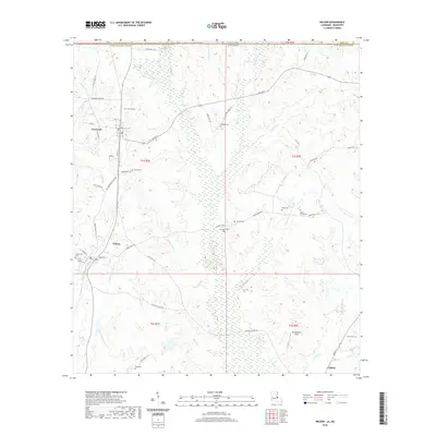 2020 Wilson2020 Print · USGSEast Feliciana Parish comes to life in this recent study of the rural Louisiana-Mississippi borderlands. Researchers can locate numerous family burial grounds including Dubose Cem and Easter Star Cem nestled among the winding reaches of Kellers Bayou.
 - 2020 Map of Rogillioville, 2020 Print
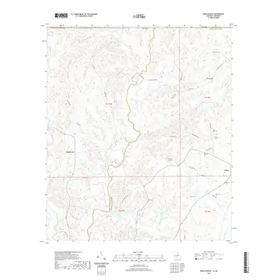 2020 Rogillioville2020 Print · USGSEast Feliciana Parish in the early twenty-first century is defined by its deep creek bottoms and long-standing rural settlements. Genealogists and local historians can trace family roots through numerous sites like McQueen Cem, Sandel Cem, and Hickman Bottom.
 - 2024 Map of Rogillioville, 2024 Print
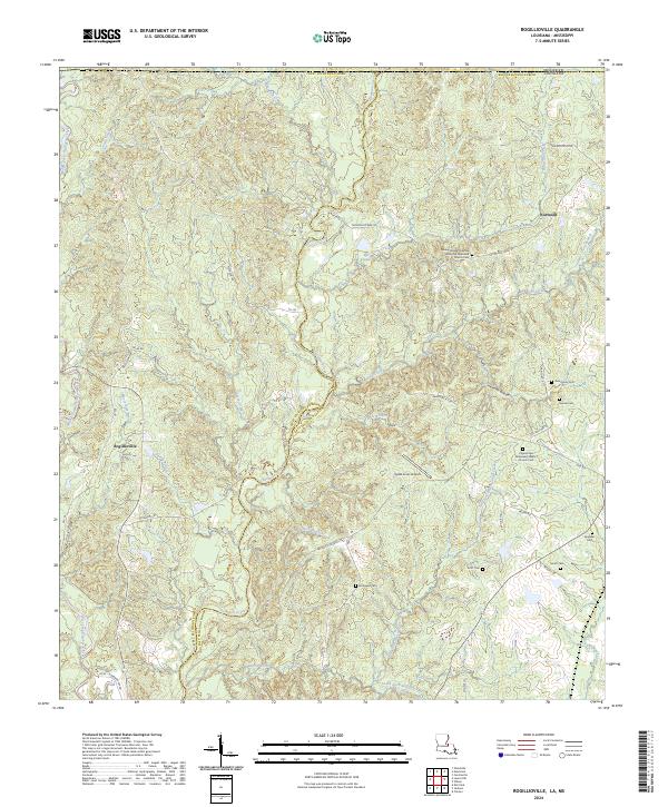 2024 Rogillioville2024 Print · USGSThe Feliciana Parishes in the 2020s are defined by the winding course of Thompson Creek and small rural communities. Researchers can trace family history through several parish burial grounds like McQueen Cem and Saint Johns Cem near Rogillioville.
 - 2024 Map of Wilson, 2024 Print
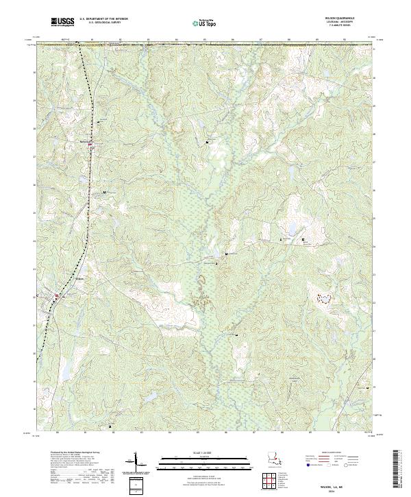 2024 Wilson2024 Print · USGSEast Feliciana Parish at the Mississippi border remains a landscape of small settlements and family history in the 2020s. Genealogists can trace deep local roots at Norwood Cem, Springhill Cem, and Dubose Cem along the Little Comite Creek drainage.
End of results
Showing maps 1-23 of 23
Top cities near Wilson
- Zachary historical maps
- Jackson historical maps
- Clinton historical maps
- Centreville historical maps
- Slaughter historical maps
- Woodville historical maps
See more
Frequently asked questions
- What are the different types of historical maps available for Wilson?
- What is the oldest map of Wilson?
- Where can I purchase historical maps of Wilson for my home or office?
- Where can I download high-res historical maps of Wilson?
- Are there historical topographic maps available for Wilson?
- Is there historical aerial imagery available for Wilson?
- Where are historical maps of Wilson sourced from?