
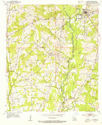
1941 Map of Lost Creek
USGS Topo · Published 1941About this map
The West Feliciana Parish and East Feliciana Parish line divides this landscape of winding watercourses and rural family centers. Settled before the middle of the twentieth century, the area is anchored by small communities like Rogillioville and Stockert, which are surrounded by a dense network of country churches and schools. The terrain is defined by the drainages of Thompson Creek and its many branches, including Middle Fork and West Fork. A high density of family and church burial grounds, such as St Johns Cem, Mc Queen Cem, and Smith Cem, suggests a long-established rural population. In the southeastern corner, the Illinois Central railroad follows the course of Redwood Creek, connecting the local timber or agricultural economy to broader markets during this era.
Find a feature on this map
41 named features on this map. Tap any name to fly to it.
Don’t see what you’re looking for? This feature index may not catch every label — zoom into the map to look around manually.
Map Details
Editions of this 1941 Lost Creek Map
This is the sole edition of this map. No revisions or reprints were ever made.
Other maps of this area

1906 · Bayou Sara
USGS Topo · 1:125,000

1936 · Woodville
USGS Topo · 1:62,500

1939 · St. Francisville
USGS Topo · 1:62,500

1941 · Norwood
USGS Topo · 1:31,680

1945 · Norwood
USGS Topo · 1:31,680

1945 · Jackson
USGS Topo · 1:31,680

1945 · Lost Creek
USGS Topo · 1:31,680

1946 · Clinton
USGS Topo · 1:31,680

1953 · Natchez
USGS Topo · 1:250,000
1954 · Clinton
USGS Topo · 1:24,000