
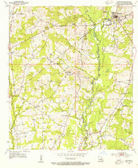
1945 Map of Lost Creek
USGS Topo · Published 1945About this map
Rogillio-ville anchors this mid-century survey of the borderlands between Louisiana and Mississippi, where the St Helena Meridian bisects a landscape defined by intricate creek systems and family-held lands. The terrain is divided into numerous numbered land sections, reflecting the complex historical property boundaries typical of West and East Feliciana Parishes. Numerous rural institutions are documented, including Hickory Grove Sch and Scott Sch, alongside many denominational landmarks like St Johns Ch and Oak Grove Ch.
Find a feature on this map
44 named features on this map. Tap any name to fly to it.
Don’t see what you’re looking for? This feature index may not catch every label — zoom into the map to look around manually.
Map Details
Editions of this 1945 Lost Creek Map
This is the sole edition of this map. No revisions or reprints were ever made.
Other maps of this area

1906 · Bayou Sara
USGS Topo · 1:125,000

1936 · Woodville
USGS Topo · 1:62,500

1939 · St. Francisville
USGS Topo · 1:62,500

1941 · Norwood
USGS Topo · 1:31,680

1941 · Lost Creek
USGS Topo · 1:31,680

1945 · Norwood
USGS Topo · 1:31,680

1945 · Jackson
USGS Topo · 1:31,680

1946 · Clinton
USGS Topo · 1:31,680

1953 · Natchez
USGS Topo · 1:250,000
1954 · Clinton
USGS Topo · 1:24,000