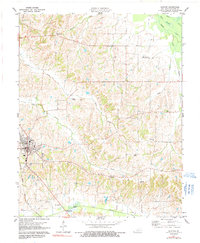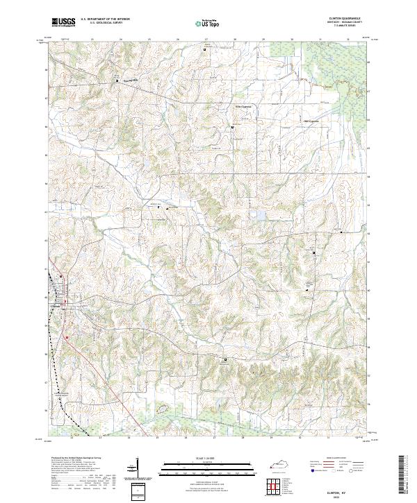
2022 Map of Clinton
USGS Topo · Published 2022About this map
Clinton serves as the focal point of this Western Kentucky landscape, anchored by the Hickman County Courthouse and its historical street grid. The surrounding countryside reflects a deeply rooted agricultural and family heritage, evidenced by the numerous small burial grounds and rural communities such as New Cypress, Old Cypress, and Spring Hill. The terrain is defined by a dense network of winding watercourses, including Russells Cr, Brush Cr, and the larger Bayou de Chien to the south. These streams carve through the landscape, creating the irregular topography that dictates the path of local routes like Spring Hill Rd and Rebiel Rd. For those tracing local lineages, the map identifies several smaller family sites such as the Bone Family Cem, Vivrett Cem, and the Johnson Graveyard, preserving the names of the early residents who settled between the creek bottoms.
Find a feature on this map
82 named features on this map. Tap any name to fly to it.
Don’t see what you’re looking for? This feature index may not catch every label — zoom into the map to look around manually.
Map Details
Editions of this 2022 Clinton Map
This is the sole edition of this map. No revisions or reprints were ever made.
Historical Maps of Kentucky Through Time
3 maps found