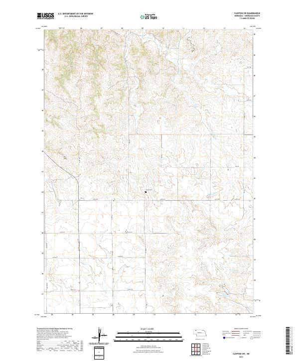
2021 Map of Clinton SW
USGS Topo · Published 2021About this map
Amity Cem stands as a central historical marker in this portion of Sheridan County, situated amidst a landscape defined by its section-line road network and intermittent drainage patterns. The area is drained by Larrabee Cr in the north and Antelope Cr to the south, with the Frank Reservoir serving as a significant water catchment in the southeastern corner. This 2021 update reveals a rural topography structured by established routes such as Larabee Rd, Scott Rd, and Church Rd. The map illustrates the enduring Public Land Survey System grid, which continues to dictate the spatial organization of Nebraska's ranching and agricultural lands. For local historians, the placement of the cemetery and the naming of small water bodies provide primary points of reference for tracing family landholdings and early settlement patterns in this part of the High Plains.
Find a feature on this map
29 named features on this map. Tap any name to fly to it.
Don’t see what you’re looking for? This feature index may not catch every label — zoom into the map to look around manually.
Map Details
Editions of this 2021 Clinton SW Map
This is the sole edition of this map. No revisions or reprints were ever made.
Other maps of this area

1955 · Alliance
USGS Topo · 1:250,000

1957 · Alliance
USGS Topo · 1:250,000

1958 · Alliance
USGS Topo · 1:250,000

1966 · Rushville
USGS Topo · 1:24,000

1966 · Hay Springs NE
USGS Topo · 1:24,000

1969 · Clinton
USGS Topo · 1:24,000

1969 · Whiteclay
USGS Topo · 1:24,000

1969 · Clinton NW
USGS Topo · 1:24,000

1969 · Clinton NE
USGS Topo · 1:24,000

1969 · Clinton SW
USGS Topo · 1:24,000