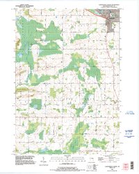
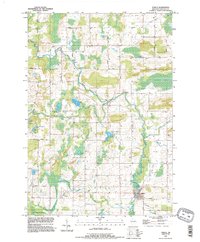
1993 Map of Clintonville South
USGS Topo · Published 1995About this map
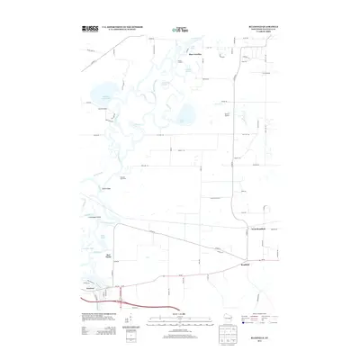
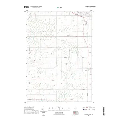
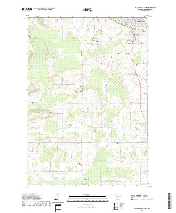
Clintonville serves as the primary hub at the northern edge of this Waupaca County landscape, situated where the Chicago and North Western rail line meets Pigeon Lake. The map reveals a transition from the structured street grid and recreational spaces of the city, such as Olen Park and Bucholtz Park, to a rural expanse defined by townships like Larrabee and Bear Creek. Numerous family-named roads, including Knaack Road and Reinke Road, suggest a landscape shaped by established agricultural holdings.
Find a feature on this map
45 named features on this map. Tap any name to fly to it.
Don’t see what you’re looking for? This feature index may not catch every label — zoom into the map to look around manually.
Map Details
Editions of this 1993 Clintonville South Map
This is the sole edition of this map. No revisions or reprints were ever made.
Historical Maps of Clintonville Through Time
20 maps found
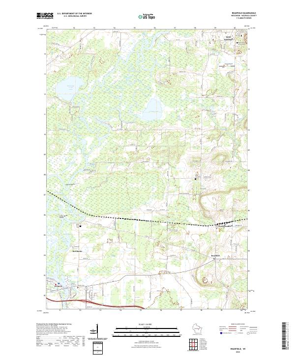
1969 Readfield
Waupaca County, WI
1970 Clintonville South
Waupaca County, WI
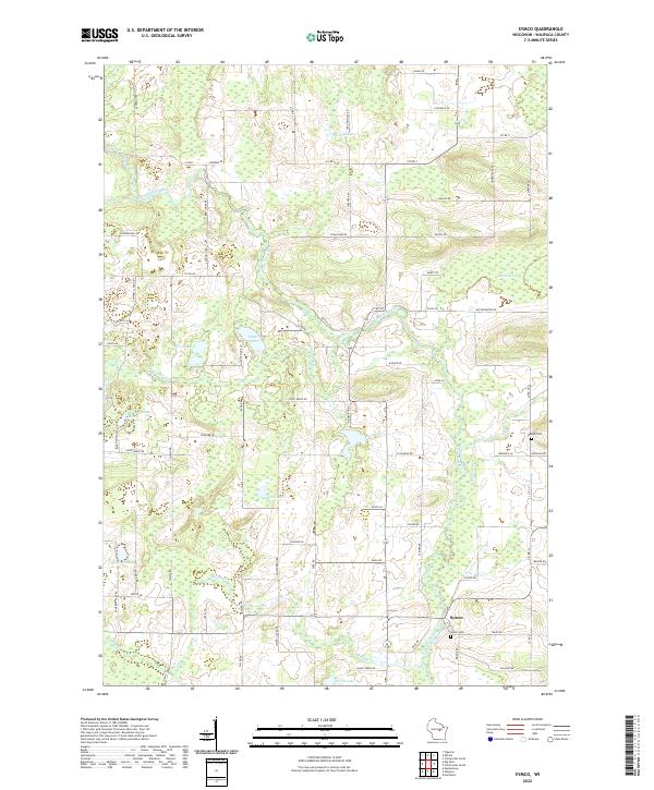
1970 Symco
Waupaca County, WI
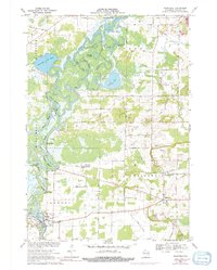
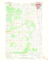
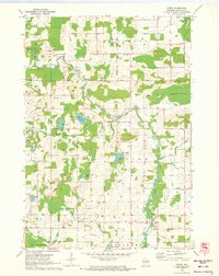
1993 Clintonville South
Waupaca County, WI
1993 Symco
Waupaca County, WI
2010 Clintonville South
Waupaca County, WI

2010 Readfield
Waupaca County, WI
2010 Symco
Waupaca County, WI
2013 Clintonville South
Waupaca County, WI
2013 Readfield
Waupaca County, WI
2013 Symco
Waupaca County, WI
2016 Clintonville South
Waupaca County, WI
2016 Readfield
Waupaca County, WI
2016 Symco
Waupaca County, WI
2018 Clintonville South
Waupaca County, WI
2018 Readfield
Waupaca County, WI
2018 Symco
Waupaca County, WI
2022 Clintonville South
Waupaca County, WI
2022 Readfield
Waupaca County, WI
2022 Symco
Waupaca County, WI