
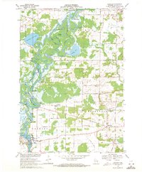
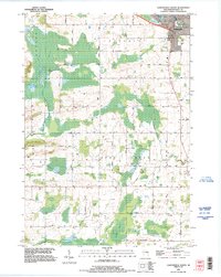
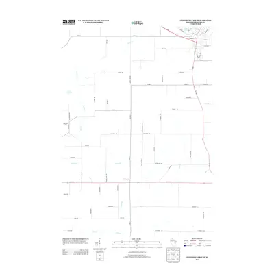
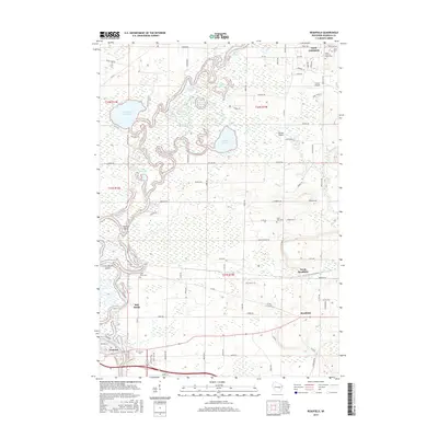
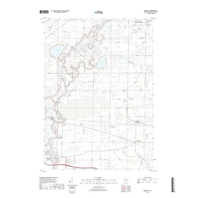
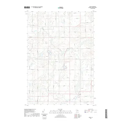
1969 Map of Readfield
USGS Topo · Published 1991About this map
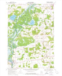
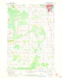
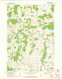
The Wolf River snakes through this portion of Waupaca County, creating a complex hydrologic landscape defined by countless backwaters and oxbows. These water features, including Horseshoe Bayou, Colic Bayou, and Templeton Bayou, speak to the shifting nature of the river's path over time. Settlement is concentrated around the community of Fremont and the village of Readfield, while the northern reaches are dominated by the Mukwa State Wildlife Area. Cultural life is marked by several long-standing local cemeteries such as St Pauls Cem and Pioneer Cem. The presence of the Soo Line railroad and numerous sand and gravel operations, including several Gravel Pits and a Quarry, point to a local economy historically tied to both transportation and resource extraction from the glacial soils.
Find a feature on this map
67 named features on this map. Tap any name to fly to it.
Don’t see what you’re looking for? This feature index may not catch every label — zoom into the map to look around manually.
Map Details
Editions of this 1969 Readfield Map
3 editions found
Historical Maps of New London Through Time
20 maps found
1969 Readfield
Waupaca County, WI
1970 Clintonville South
Waupaca County, WI
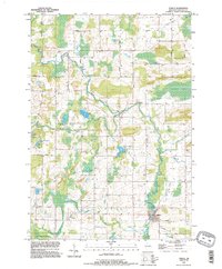
1970 Symco
Waupaca County, WI
1993 Clintonville South
Waupaca County, WI
1993 Symco
Waupaca County, WI
2010 Clintonville South
Waupaca County, WI

2010 Readfield
Waupaca County, WI
2010 Symco
Waupaca County, WI
2013 Clintonville South
Waupaca County, WI
2013 Readfield
Waupaca County, WI
2013 Symco
Waupaca County, WI
2016 Clintonville South
Waupaca County, WI
2016 Readfield
Waupaca County, WI
2016 Symco
Waupaca County, WI
2018 Clintonville South
Waupaca County, WI
2018 Readfield
Waupaca County, WI
2018 Symco
Waupaca County, WI
2022 Clintonville South
Waupaca County, WI
2022 Readfield
Waupaca County, WI
2022 Symco
Waupaca County, WI