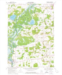
1969 Map of Readfield
USGS Topo · Published 1976About this map
The Wolf River winds through a complex network of bayous and wetlands in this 1969 survey, defining the landscape of southeastern Waupaca County. This hydraulic labyrinth includes named waterways such as Little Horseshoe Bayou, Lowell Bayou, and Traders Bayou, which transition into larger bodies like Cincoe Lake and Partridge Crop Lake. The village of Fremont sits at a critical bend in the river, supported by the Soo Line railroad and the Fremont (Station).
Find a feature on this map
64 named features on this map. Tap any name to fly to it.
Don’t see what you’re looking for? This feature index may not catch every label — zoom into the map to look around manually.
Map Details
Editions of this 1969 Readfield Map
3 editions found
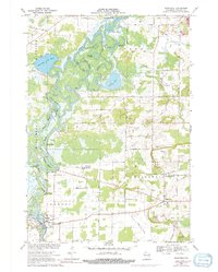
Other maps of this area

1955 · Green Bay
USGS Topo · 1:250,000

1956 · New London
USGS Topo · 1:48,000

1956 · Weyauwega
USGS Topo · 1:48,000

1961 · Poy Sippi
USGS Topo · 1:62,500

1961 · Oshkosh
USGS Topo · 1:62,500

1961 · Lake Poygan
USGS Topo · 1:24,000

1961 · Oshkosh NW
USGS Topo · 1:24,000
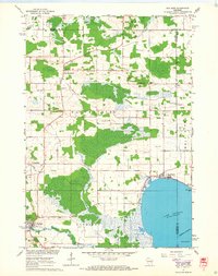
1961 · Poy Sippi
USGS Topo · 1:24,000

1969 · New London
USGS Topo · 1:24,000

1969 · Readfield
USGS Topo · 1:24,000