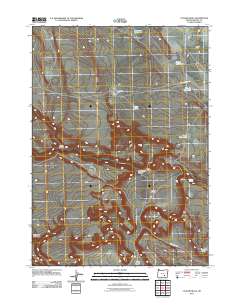
2011 Map of Clover Swale
USGS Topo · Published 2011About this map
Deadmans Bedground and the high desert of Harney County define this landscape, where water management is central to the arid geography. The 2011 survey highlights several catchments and named pools including Gravel Waterhole, Kerns Waterhole, and O'Keefe Reservoir. Transportation is sparse, primarily consisting of the Foster Lake CCC Rd and Clover Swail Rd, reflecting the remote character of the region. The terrain is marked by distinctive geological depressions and drainages such as Clover Swale, The Dipper, and Loggerhead Canyon. These features, alongside family-named landmarks like Matties Ark, suggest a history of seasonal ranching and range management. Small water bodies like Little Lake, Hidden Spring, and Tucker Lake appear as vital points of interest in an otherwise dry expanse of Foster Flat.
Find a feature on this map
17 named features on this map. Tap any name to fly to it.
Don’t see what you’re looking for? This feature index may not catch every label — zoom into the map to look around manually.
Map Details
Editions of this 2011 Clover Swale Map
This is the sole edition of this map. No revisions or reprints were ever made.
Other maps of this area

1955 · Burns
USGS Topo · 1:250,000

1955 · Adel
USGS Topo · 1:250,000

1957 · Adel
USGS Topo · 1:250,000

1958 · Burns
USGS Topo · 1:250,000

1958 · Adel
USGS Topo · 1:250,000

1959 · Burns
USGS Topo · 1:250,000

1962 · Adel
USGS Topo · 1:250,000

1971 · Duhaime Flat East
USGS Topo · 1:24,000

1971 · Clover Swale
USGS Topo · 1:24,000

1971 · Orejana Canyon
USGS Topo · 1:24,000