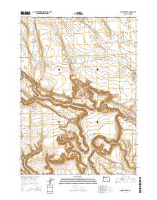
2014 Map of Clover Swale
USGS Topo · Published 2014About this map
Matties Ark and Gravel Waterhole serve as vital water sources in this high-desert region of Harney County, where the landscape is defined by its arid drainage patterns and occasional catchments. The terrain transitions from the broad expanse of Foster Flat in the northeast to the deeply incised paths of Loggerhead Canyon and Dudes Canyon in the west. These topographic features suggest a reliance on seasonal moisture and springs, such as Hidden Spring, to support livestock or local passage through the high-plateau environment.
Find a feature on this map
20 named features on this map. Tap any name to fly to it.
Don’t see what you’re looking for? This feature index may not catch every label — zoom into the map to look around manually.
Map Details
Editions of this 2014 Clover Swale Map
This is the sole edition of this map. No revisions or reprints were ever made.
Other maps of this area

1955 · Burns
USGS Topo · 1:250,000

1955 · Adel
USGS Topo · 1:250,000

1957 · Adel
USGS Topo · 1:250,000

1958 · Burns
USGS Topo · 1:250,000

1958 · Adel
USGS Topo · 1:250,000

1959 · Burns
USGS Topo · 1:250,000

1962 · Adel
USGS Topo · 1:250,000

1971 · Duhaime Flat East
USGS Topo · 1:24,000

1971 · Clover Swale
USGS Topo · 1:24,000

1971 · Orejana Canyon
USGS Topo · 1:24,000