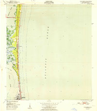
1951 Map of Cocoa Beach
USGS Topo · Published 1951About this map
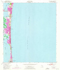
Cocoa Beach occupies a narrow barrier strip between the Atlantic Ocean and the Banana River in this mid-century survey. The landscape is defined by the complex aquatic geography of the lagoon, where the Thousand Islands and various marshes like Shortys Pocket and Shortys Banks break up the waterway. The map reveals the early footprint of the town before its major space-age expansion, showing a concentrated corridor of development along Route 520 and the shoreline, featuring landmarks such as the Casa and Beachy. To the south, a significant U S Military Reservation occupies the peninsula, while points of interest like Shell Point and Sprig Point mark the transition into the undisturbed natural habitat of the river. This record captures the barrier island at a pivot point, balancing its identity as a coastal resort and a strategic military location.
Find a feature on this map
26 named features on this map. Tap any name to fly to it.
Don’t see what you’re looking for? This feature index may not catch every label — zoom into the map to look around manually.
Map Details
Editions of this 1951 Cocoa Beach Map
This is the sole edition of this map. No revisions or reprints were ever made.
Historical Maps of Cocoa Beach Through Time
4 maps found