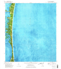
1976 Map of Cocoa Beach
USGS Topo · Published 1978About this map
The narrow barrier island of Cocoa Beach is captured during a period of significant development, bordered by the Atlantic Ocean and the intricate wetlands of the Banana River. This orthophotomap, based on 1976 aerial photography, reveals the dense residential grid and finger-canal developments that define the central Florida coast. The southern portion of the map is dominated by the sprawling installations of Patrick Air Force Base, while to the north, the Minuteman Causeway provides a vital link across the river.
Find a feature on this map
25 named features on this map. Tap any name to fly to it.
Don’t see what you’re looking for? This feature index may not catch every label — zoom into the map to look around manually.
Map Details
Editions of this 1976 Cocoa Beach Map
2 editions found
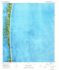
Other maps of this area

1949 · Courtenay
USGS Topo · 1:24,000

1949 · Eau Gallie
USGS Topo · 1:24,000

1949 · Cocoa
USGS Topo · 1:24,000

1949 · Cocoa Beach
USGS Topo · 1:24,000

1949 · Tropic
USGS Topo · 1:24,000

1951 · Eau Gallie
USGS Topo · 1:24,000

1951 · Cocoa
USGS Topo · 1:24,000

1951 · Courtenay
USGS Topo · 1:24,000
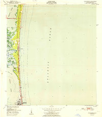
1951 · Cocoa Beach
USGS Topo · 1:24,000
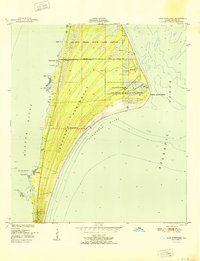
1951 · Cape Canaveral
USGS Topo · 1:24,000