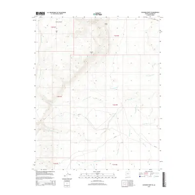
2014 Map of Coconino Point SE
USGS Topo · Published 2014About this map
Coconino Rim dominates this high-desert landscape in the southwestern corner of the Navajo Nation boundary. The terrain is defined by a series of ephemeral watercourses, including Burro Canyon Wash and Tappan Wash, which carve through the arid plateau toward the east. This 2014 survey documents a land of significant elevation shifts, from the heights of Gray Mtn and the expanse of Mormon Tea Flat down into the depths of Pothole Canyon. Modern transportation is represented by Az-64 in the northeast and the Bureau of Indian Affairs route Bia-6150, showing the primary access points through this section of Coconino County. The network of washes, such as Needmore Wash and Cedar Wash, provides a blueprint of the natural drainage patterns that dictate the movement of both water and wildlife in this sparsely developed region.
Find a feature on this map
17 named features on this map. Tap any name to fly to it.
Don’t see what you’re looking for? This feature index may not catch every label — zoom into the map to look around manually.
Map Details
Editions of this 2014 Coconino Point SE Map
This is the sole edition of this map. No revisions or reprints were ever made.
Other maps of this area

1886 · San Francisco Mtns
USGS Topo · 1:250,000

1891 · San Francisco Mtns
USGS Topo · 1:250,000

1894 · San Francisco Mtns
USGS Topo · 1:250,000

1899 · San Francisco Mtns
USGS Topo · 1:250,000

1947 · Flagstaff
USGS Topo · 1:250,000

1954 · Flagstaff
USGS Topo · 1:250,000

1955 · Coconino Pt SE
USGS Topo · 1:24,000

1955 · Coconino Pt NE
USGS Topo · 1:24,000

1955 · Cameron SW
USGS Topo · 1:24,000

1955 · Cameron
USGS Topo · 1:62,500