Loading...
Loading map...2024 Map of Coffee Creek
USGS Topo · Published 2024About this map
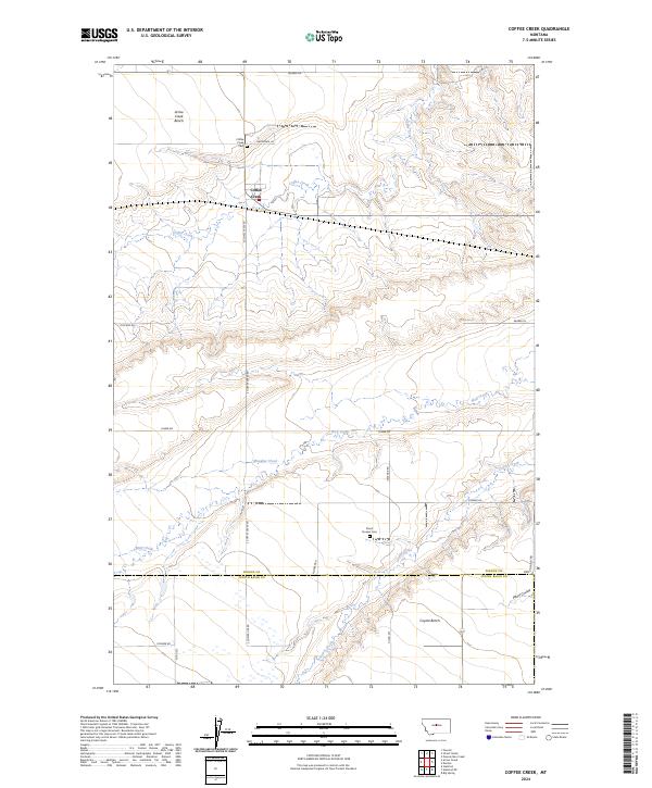
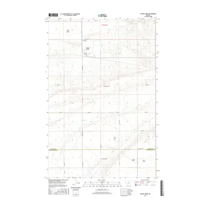
Coffee Creek sits at the heart of this Montana landscape, where the high plains transition into a series of deeply etched drainage basins. The settlement is flanked by the Coffee Creek Cem to the northwest, serving as a focal point for local genealogy in this agricultural region. The map reveals a land defined by its benches and coulees, notably the broad Arrow Creek Bench in the north and Coyote Bench in the southeast.
Find a feature on this map
26 named features on this map. Tap any name to fly to it.
Don’t see what you’re looking for? This feature index may not catch every label — zoom into the map to look around manually.
Map Details
Date Portrayed2024
Date Published2024
PublisherU.S. Geological Survey
Map TypeTopographic
Scale1:24,000
Physical Dimensions24 x 29 inches
Editions of this 2024 Coffee Creek Map
This is the sole edition of this map. No revisions or reprints were ever made.
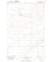
Historical Maps of Coffee Creek Through Time
6 maps found
Featured Locations
Source Details
SourceU.S. Geological Survey
CopyrightPublic Domain