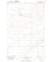
1979 Map of Coffee Creek
USGS Topo · Published 1979About this map
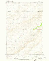
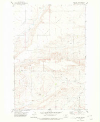
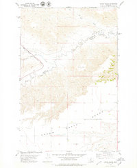
Coffee Creek sits as a lonely hub of grain and rail in this landscape of high plains and deep-cut drainage basins. The Chicago Milwaukee St Paul and Pacific railroad bisects the terrain, connecting the clustered storage bins that dot the tracks to the wider cattle and grain markets of the 1970s. The topography is defined by broad plateaus like Arrow Creek Bench and Coyote Bench, which overlook the winding paths of Wolf Creek and Coyote Creek. Evidence of earlier homesteading remains at the Strouf Pioneer Cem, a quiet record of the families who settled this stretch of central Montana. Throughout the area, several gravel pits and a drill hole indicate a reliance on local mineral extraction to support the rural road network and industry.
Find a feature on this map
17 named features on this map. Tap any name to fly to it.
Don’t see what you’re looking for? This feature index may not catch every label — zoom into the map to look around manually.
Map Details
Editions of this 1979 Coffee Creek Map
This is the sole edition of this map. No revisions or reprints were ever made.
Other maps of this area

1890 · Fort Benton
USGS Topo · 1:250,000

1892 · Fort Benton
USGS Topo · 1:250,000

1897 · Fort Benton
USGS Topo · 1:250,000

1954 · Great Falls
USGS Topo · 1:250,000

1954 · Lewistown
USGS Topo · 1:250,000

1957 · Great Falls
USGS Topo · 1:250,000

1959 · Lewistown
USGS Topo · 1:250,000
1970 · Big Spring
USGS Topo · 1:24,000
1978 · Stanford NE
USGS Topo · 1:24,000
1978 · Strouf Island
USGS Topo · 1:24,000