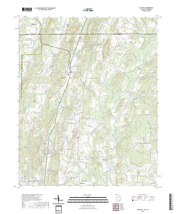
2024 Map of Cohutta
USGS Topo · Published 2024About this map
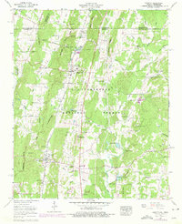
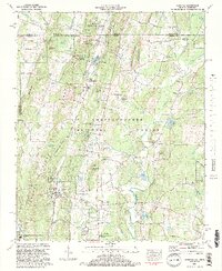
Coahulla Creek flows southward through this borderland where Georgia and Tennessee meet, defining a landscape of prominent north-south ridges and fertile valleys. The settlement of Cohutta serves as a central point in this corridor, surrounded by smaller communities such as Varnell and Plainview. To the north, the Red Clay area marks a location of significant cultural importance near the Tennessee state line, while Prater Mill stands as a landmark of local industry and heritage along the banks of the creek.
Find a feature on this map
200 named features on this map. Tap any name to fly to it.
Don’t see what you’re looking for? This feature index may not catch every label — zoom into the map to look around manually.
Map Details
Editions of this 2024 Cohutta Map
This is the sole edition of this map. No revisions or reprints were ever made.
Historical Maps of Parrett Crossing Through Time
3 maps found