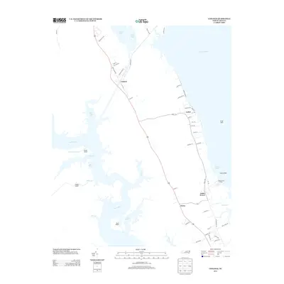
2013 Map of Coinjock
USGS Topo · Published 2013About this map
The North River and the expansive waters of the Currituck Sound dominate this coastal landscape of Currituck County. Historically situated along the Intracoastal Waterway, the settlement of Coinjock serves as a central hub in a network of water-dependent communities, including Aydlett and Poplar Branch. The geography is defined by a complex system of inlets and islands, where features like Buck Island, Indian Island, and Green Island sit between Taylor Bay and the river’s main channel. The road network, including Young Rd and Aydlett Rd, connects these waterfront landings to inland points like Bertha. This 2013 survey illustrates the enduring coastal character of the Outer Banks region, highlighting various landings and shoals such as Poplar Branch Landing and Gallop Shoal that remain vital to local navigation and identity.
Find a feature on this map
61 named features on this map. Tap any name to fly to it.
Don’t see what you’re looking for? This feature index may not catch every label — zoom into the map to look around manually.
Map Details
Editions of this 2013 Coinjock Map
This is the sole edition of this map. No revisions or reprints were ever made.
Other maps of this area

1940 · Barco
USGS Topo · 1:62,500

1940 · Powells Point
USGS Topo · 1:62,500

1940 · Wade Point
USGS Topo · 1:62,500

1943 · Wade Point
USGS Topo · 1:62,500

1946 · Eastville
USGS Topo · 1:250,000

1946 · Currituck Sound
USGS Topo · 1:250,000

1948 · Wade Point
USGS Topo · 1:62,500

1948 · Elizabeth City
USGS Topo · 1:62,500

1953 · Norfolk
USGS Topo · 1:250,000

1961 · Eastville
USGS Topo · 1:250,000