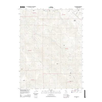
2015 Map of Cold Spring
USGS Topo · Published 2015About this map
Reilly Heights sits atop the high ground above the Navarro River in this coastal Mendocino County landscape. The area is defined by a complex network of ridges and watercourses, including the prominent Greenwood Ridge and Cold Spring Mtn. Historically significant openings, such as Kane Opening, Hamilton Opening, and Brushy Opening, punctuate the forested terrain, likely serving as important landmarks for early navigation and land use. The drainage system is particularly dense here, with the S Fork Greenwood Cr and Three Springs Cr carving through the hills. This 2015 survey details a landscape where traditional road networks like Signal Ridge Rd and Holmes Ranch Rd follow the topography to connect these high-elevation points, reflecting the region's enduring rural character and its reliance on the natural geography for transit and settlement.
Find a feature on this map
47 named features on this map. Tap any name to fly to it.
Don’t see what you’re looking for? This feature index may not catch every label — zoom into the map to look around manually.
Map Details
Editions of this 2015 Cold Spring Map
This is the sole edition of this map. No revisions or reprints were ever made.
Other maps of this area

1943 · Point Arena
USGS Topo · 1:62,500

1943 · Boonville
USGS Topo · 1:62,500

1943 · Navarro
USGS Topo · 1:62,500

1943 · Ornbaun
USGS Topo · 1:62,500

1944 · Saddle Point
USGS Topo · 1:62,500

1944 · Ornbaun
USGS Topo · 1:62,500

1947 · Santa Rosa
USGS Topo · 1:250,000

1949 · Santa Rosa
USGS Topo · 1:250,000

1957 · Ukiah
USGS Topo · 1:250,000

1958 · Santa Rosa
USGS Topo · 1:250,000