
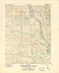
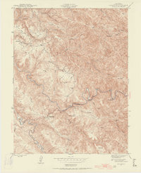
1944 Map of Ornbaun
USGS Topo · Published 1944About this map
Ornbaun Ranch and the Old Ornbaun Hot Springs serve as central landmarks in this mountainous portion of the Mendocino and Sonoma county line during the 1940s. The landscape is defined by a dense network of family-operated holdings, including the Mailliard Ranch, Zeni Ranch, and the Hibbard Ranch, reflecting a period of decentralized rural settlement and livestock operations. The topography is deeply incised by the Garcia River and the North Fork Gualala River, which dictate the placement of roads like the Ornbaun Road. To the east, the small settlement of Yorkville marks a point of connection near the headwaters of Rancheria Creek. Notable for genealogists, this map identifies specific home sites such as the Old Red Rock Place and the Log Cabin Ranch, providing a high-resolution view of land tenure before modern consolidation altered these historic boundaries.
Find a feature on this map
66 named features on this map. Tap any name to fly to it.
Don’t see what you’re looking for? This feature index may not catch every label — zoom into the map to look around manually.
Map Details
Editions of this 1944 Ornbaun Map
This is the sole edition of this map. No revisions or reprints were ever made.
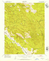
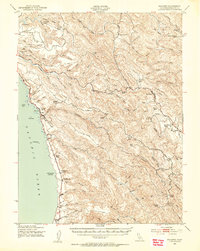
Other maps of this area

1920 · Ukiah
USGS Topo · 1:62,500

1921 · Skaggs
USGS Topo · 1:62,500

1921 · Plantation
USGS Topo · 1:62,500
1938 · Hopland
USGS Topo · 1:62,500
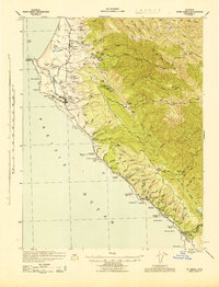
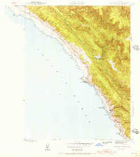
1943 · Point Arena
USGS Topo · 1:62,500

1943 · Tombs Creek
USGS Topo · 1:24,000
1943 · Boonville
USGS Topo · 1:62,500
1943 · Navarro
USGS Topo · 1:62,500
1943 · Stewarts Point
USGS Topo · 1:24,000
1943 · Annapolis
USGS Topo · 1:24,000