Old Maps of Boonville, California
Explore 29 old maps of Boonville, spanning from 1943 to today. These high-resolution historic maps reveal how streets, neighborhoods, landmarks, and natural features evolved over time — perfect for genealogy, metal detecting, research, and local history exploration.
What you can do with these maps:
- See how Boonville changed over time: Compare historical maps to modern-day views to trace roads, homesites, rail lines & more.
- View detailed metadata: Each map includes creators, publishers, year, scale, and archive source.
- Overlay maps with satellite & LiDAR: Visualize the past alongside modern tools to explore terrain & human change.
- Trusted historical sources: Maps sourced from the USGS, Library of Congress, and other archives.
- Access maps your way: View online, download high-res files, or order prints for personal or research use.
Start exploring old maps of Boonville to uncover forgotten places, hidden landmarks, and the deep history beneath your feet.
Boonville, CA maps
(29)- 1943 Map of Boonville, 1954 Print
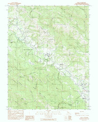
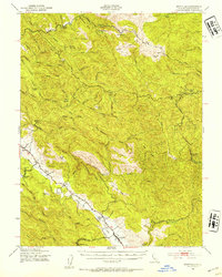 1943 Boonville1954 Print · USGSMendocino County's ranching and timber heartland is captured here during the 1940s, focused on the Anderson Valley settlements. Genealogists and researchers can trace family-named sites like Whipple Ranch and Hagemann Ranch, along with several rural schoolhouses such as Con Creek Sch.
 - 1943 Map of Ornbaun, 1961 Print
 1943 Ornbaun1961 Print · USGSNorthern California ranching and early resort history are documented here in the early 1940s along the Mendocino-Sonoma border. Genealogists can trace family holdings like Zeni Ranch and Rickard Ranch or locate the site of the Old Ornbaun Hot Springs.
 - 1944 Map of Ornbaun
 1944 Ornbaun1944 Print · USGSCoastal range ranching and timber lands are documented here in the mid-1940s at the Mendocino and Sonoma border. Researchers can trace historic family holdings like the Ornbaun Ranch, the Old Red Rock Place, and the remote Helvetian Gun Club.
 - 1947 Map of Santa Rosa
 1947 Santa Rosa1947 Print · USGSNorthern California in the late 1940s was a landscape of agricultural valleys and vital rail hubs. Trace the historic routes of the Northwestern Pacific through Healdsburg or explore the mid-century waterfronts of Vallejo and Benicia near Mare Island.
 - 1949 Map of Santa Rosa
 1949 Santa Rosa1949 Print · USGSThe North Bay and Wine Country appear here in the late 1940s, when the Northwestern Pacific RR still dominated regional transit. Genealogists and historians can trace old coastal outposts like Anchor Bay Settlement and the early layout of Santa Rosa.2 unique versions available
 - 1957 Map of Ukiah, 1966 Print
 1957 Ukiah1966 Print · USGSNorthern California's diverse terrain comes into focus in the mid-1950s, from the rugged timberlands of the Jackson State Forest to the productive Sacramento Valley. Genealogists and historians can trace the rail lines of the Northwestern Pacific or locate early valley settlements like Arbuckle and Paskenta.3 unique versions available
 - 1958 Map of Santa Rosa, 1968 Print
 1958 Santa Rosa1968 Print · USGSThe North Bay and Wine Country are captured in the mid-twentieth century as the region balanced its agricultural roots with a growing military and recreational footprint. Researchers can trace the Northwestern Pacific RR through the Russian River valley or locate landmarks like the Petaluma Adobe Historical Monument and The Geysers Resort.3 unique versions available
 - 1959 Map of Boonville, 1961 Print
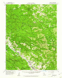 1959 Boonville1961 Print · USGSAnderson Valley was a thriving timber and ranching corridor in the late fifties. Genealogists and historians can trace family lands at Old Bailey Place, the Philbrick Mill, and the Evergreen Cem near the County Fairgrounds.2 unique versions available
 - 1960 Map of Ukiah
 1960 Ukiah1960 Print · USGSNorthern California during the late fifties reveals a landscape of deep timber forests and valley agriculture before modern expansion. Trace the historic rail lines of the California Western RR and the Northwestern Pacific RR through settlements like Fort Bragg and Ukiah.2 unique versions available
 - 1960 Map of Ornbaun Valley, 1962 Print
 1960 Ornbaun Valley1962 Print · USGSThe rugged interior of Mendocino County during the early 1960s is defined by vast ranch holdings and steep river canyons. Genealogists and historians can trace family locations at Mailliard Ranch, find the Ornbaun Sprs Cem, and locate the Gualala Mtn Lookout.2 unique versions available
 - 1962 Map of Santa Rosa
 1962 Santa Rosa1962 Print · USGSThe North Bay and Wine Country were entering a period of significant growth in the early sixties, anchored by established rail corridors and coastal maritime commerce. Genealogists and historians can trace the development of Santa Rosa, locate the Mare Island Naval Shipyard, and follow the Northwestern Pacific RR through the Cotati Valley.
 - 1964 Map of Santa Rosa
 1964 Santa Rosa1964 Print · USGSThe North Bay and Wine Country appear in the mid-fifties during a period of significant military and educational growth. Trace old rail lines like the Northwestern Pacific RR and explore historic sites from Petaluma to the Benicia Arsenal.
 - 1981 Map of Ukiah
 1981 Ukiah1981 Print · USGSMendocino County’s timber and rail landscape is captured here in the early eighties, from the coastal lumber mills to the inland valleys. Trace the California Western Railroad and find settlements like Fort Bragg, Comptche, and Navarro.3 unique versions available
 - 1981 Map of Point Arena
 1981 Point Arena1981 Print · USGSThe Mendocino and Sonoma coastlines meet here in the early eighties, where the rift zone carves a path through the redwood country. Genealogists and researchers can trace the development of Point Arena and Guerneville or locate the newly formed Lake Sonoma behind the Warm Springs Dam.2 unique versions available
 - 1991 Map of Boonville
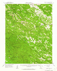
 1991 Boonville1991 Print · USGSBoonville and the southern reaches of the Anderson Valley are documented here in the early nineties, showing a landscape of deep canyons and family-named ridges. Genealogists and researchers can trace local landmarks like Fairground, Soda Spring, and Casabonne Peak.
 - 1991 Map of Ornbaun Valley
 1991 Ornbaun Valley1991 Print · USGSMendocino County’s rugged interior is captured here in the early nineties, showing a landscape shaped by deep timber reserves and ranching history. Researchers can locate the Ornbaun Cem, the protected groves of Mailliard Redwoods State Reserve, and the waters of the Garcia River.
 - 1991 Map of Philo
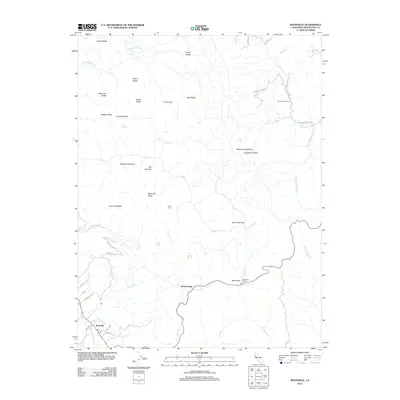
 1991 Philo1991 Print · USGSMendocino County's Anderson Valley is documented in the early nineties, showing a landscape defined by the Navarro River and local timber history. Genealogists can trace family landmarks like Hagemann Ranch, Shields Cem, and Philbrick Mill.
 - 2012 Map of Boonville, 2012 Print
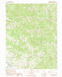
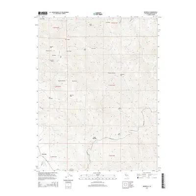
 2012 Boonville2012 Print · USGSCovers Boonville, including Soda Springs, Mendocino County, and other nearby areas
 - 2012 Map of Philo, 2012 Print
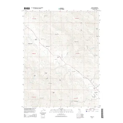
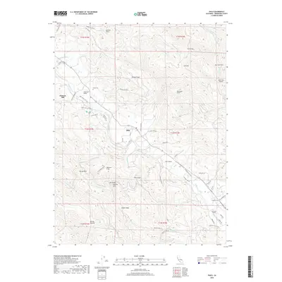
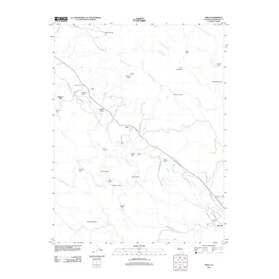 2012 Philo2012 Print · USGSCovers Boonville, including Philo, Mendocino County, and other nearby areas
 - 2012 Map of Ornbaun Valley, 2012 Print
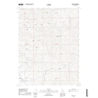
 2012 Ornbaun Valley2012 Print · USGSCovers Boonville, including Old Ornbaun Hot Springs, Mendocino County, and other nearby areas
 - 2015 Map of Ornbaun Valley, 2015 Print
 2015 Ornbaun Valley2015 Print · USGSCovers Boonville, including Old Ornbaun Hot Springs, Mendocino County, and other nearby areas
 - 2015 Map of Philo, 2015 Print
 2015 Philo2015 Print · USGSCovers Boonville, including Philo, Mendocino County, and other nearby areas
 - 2015 Map of Boonville, 2015 Print
 2015 Boonville2015 Print · USGSCovers Boonville, including Soda Springs, Mendocino County, and other nearby areas
 - 2018 Map of Boonville, 2018 Print
 2018 Boonville2018 Print · USGSCovers Boonville, including Soda Springs, Mendocino County, and other nearby areas
 - 2018 Map of Philo, 2018 Print
 2018 Philo2018 Print · USGSCovers Boonville, including Philo, Mendocino County, and other nearby areas
Showing maps 1-25 of 29
Top cities near Boonville
Frequently asked questions
- What are the different types of historical maps available for Boonville?
- What is the oldest map of Boonville?
- Where can I purchase historical maps of Boonville for my home or office?
- Where can I download high-res historical maps of Boonville?
- Are there historical topographic maps available for Boonville?
- Is there historical aerial imagery available for Boonville?
- Where are historical maps of Boonville sourced from?