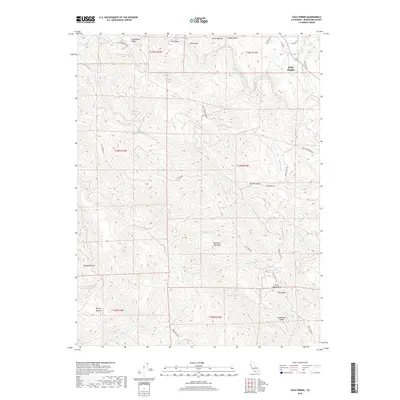
2018 Map of Cold Spring
USGS Topo · Published 2018About this map
The Navarro River snakes through the northern reaches of this coastal range landscape, defining a terrain of steep ridges and clearings in Mendocino County. Higher elevations are marked by distinctive landmarks such as Cold Spring Mtn and Greenwood Ridge, which served as critical navigation points and hubs for local timber and ranching operations. The presence of named openings like Kane Opening, Hamilton Opening, and Brushy Opening indicates historic clearings within the dense forest cover, often associated with early homesteads or seasonal grazing.
Find a feature on this map
48 named features on this map. Tap any name to fly to it.
Don’t see what you’re looking for? This feature index may not catch every label — zoom into the map to look around manually.
Map Details
Editions of this 2018 Cold Spring Map
This is the sole edition of this map. No revisions or reprints were ever made.
Other maps of this area

1943 · Point Arena
USGS Topo · 1:62,500

1943 · Boonville
USGS Topo · 1:62,500

1943 · Navarro
USGS Topo · 1:62,500

1943 · Ornbaun
USGS Topo · 1:62,500

1944 · Saddle Point
USGS Topo · 1:62,500

1944 · Ornbaun
USGS Topo · 1:62,500

1947 · Santa Rosa
USGS Topo · 1:250,000

1949 · Santa Rosa
USGS Topo · 1:250,000

1957 · Ukiah
USGS Topo · 1:250,000

1958 · Santa Rosa
USGS Topo · 1:250,000