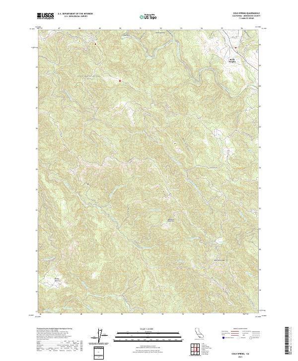
2021 Map of Cold Spring
USGS Topo · Published 2021About this map
Greenwood Ridge and Cliff Ridge define the steep, creek-cut terrain of this Mendocino County landscape. The area is characterized by high, open clearings known locally as openings, including Kane Opening, Hamilton Opening, and Brushy Opening. These named clearings suggest a history of grazing or natural breaks in the dense coastal timber. Settlement is sparse, concentrated near Reilly Heights in the northeast, while the rest of the land is defined by a network of drainage systems like Russian Gulch and the Navarro River. Roads such as Philo Greenwood Rd and Signal Ridge Rd trace the highest ground, following the natural contours of the ridges to connect the remote homesteads and ranch lands that have shaped this region for generations.
Find a feature on this map
48 named features on this map. Tap any name to fly to it.
Don’t see what you’re looking for? This feature index may not catch every label — zoom into the map to look around manually.
Map Details
Editions of this 2021 Cold Spring Map
This is the sole edition of this map. No revisions or reprints were ever made.
Other maps of this area

1943 · Point Arena
USGS Topo · 1:62,500

1943 · Boonville
USGS Topo · 1:62,500

1943 · Navarro
USGS Topo · 1:62,500

1943 · Ornbaun
USGS Topo · 1:62,500

1944 · Saddle Point
USGS Topo · 1:62,500

1944 · Ornbaun
USGS Topo · 1:62,500

1947 · Santa Rosa
USGS Topo · 1:250,000

1949 · Santa Rosa
USGS Topo · 1:250,000

1957 · Ukiah
USGS Topo · 1:250,000

1958 · Santa Rosa
USGS Topo · 1:250,000