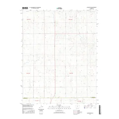
2015 Map of Coldwater NE
USGS Topo · Published 2015About this map
The Medicine Lodge River meanders through the northern reaches of this rural landscape, carving a shallow path through the prairie terrain of south-central Kansas. This 2015 survey documents the sparsely populated borderland where Kiowa Co meets Comanche Co at Co Line Rd. The landscape is defined by a rhythmic drainage pattern, with Mule Cr and Cavalry Cr feeding into the regional watershed. While the area lacks dense settlements, the geometric precision of the Public Land Survey System is clearly visible through a network of secondary roads, including KC St Q and KC St Y, which follow section lines to connect isolated ranching and agricultural tracts across the townships of t29s r19w and t30s r18w.
Find a feature on this map
24 named features on this map. Tap any name to fly to it.
Don’t see what you’re looking for? This feature index may not catch every label — zoom into the map to look around manually.
Map Details
Editions of this 2015 Coldwater NE Map
This is the sole edition of this map. No revisions or reprints were ever made.
Other maps of this area

1889 · Kinsley
USGS Topo · 1:125,000

1892 · Kinsley
USGS Topo · 1:125,000

1892 · Coldwater
USGS Topo · 1:125,000

1894 · Kinsley
USGS Topo · 1:125,000

1955 · Pratt
USGS Topo · 1:250,000

1959 · Pratt
USGS Topo · 1:250,000

1968 · Brenham
USGS Topo · 1:24,000
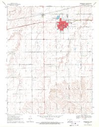
1969 · Greensburg
USGS Topo · 1:24,000
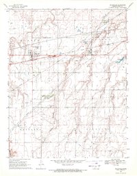
1969 · Mullinville
USGS Topo · 1:24,000

1979 · Coldwater
USGS Topo · 1:24,000