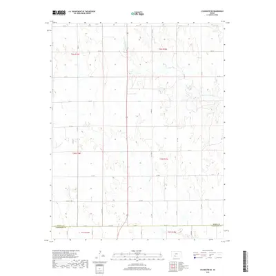
2018 Map of Coldwater NE
USGS Topo · Published 2018About this map
The Medicine Lodge River carves through the undulating prairie of Kiowa County, creating a dendritic drainage pattern that defines this rural landscape. This modern digital survey from the U.S. Geological Survey illustrates a sparsely populated region dominated by section-line roads and wide agricultural expanses. Along the southern edge, the Kiowa Co Comanche Co line follows Cm Ave A and Co Line Rd, serving as a primary east-west corridor for the local farming community. Tributaries such as Mule Cr and Cavalry Cr feed into the river system, while a grid of local connectors like Kc Av 29 and Kc St Q provide access to remote acreage. The map provides a clear picture of contemporary land management and water resources in the southern Kansas plains.
Find a feature on this map
35 named features on this map. Tap any name to fly to it.
Don’t see what you’re looking for? This feature index may not catch every label — zoom into the map to look around manually.
Map Details
Editions of this 2018 Coldwater NE Map
This is the sole edition of this map. No revisions or reprints were ever made.
Other maps of this area

1889 · Kinsley
USGS Topo · 1:125,000

1892 · Kinsley
USGS Topo · 1:125,000

1892 · Coldwater
USGS Topo · 1:125,000

1894 · Kinsley
USGS Topo · 1:125,000

1955 · Pratt
USGS Topo · 1:250,000

1959 · Pratt
USGS Topo · 1:250,000

1968 · Brenham
USGS Topo · 1:24,000
1969 · Greensburg
USGS Topo · 1:24,000
1969 · Mullinville
USGS Topo · 1:24,000

1979 · Coldwater
USGS Topo · 1:24,000