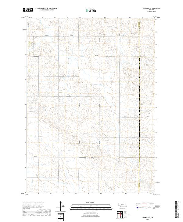
2021 Map of Coleridge SE
USGS Topo · Published 2021About this map
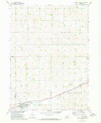
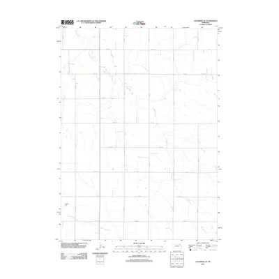
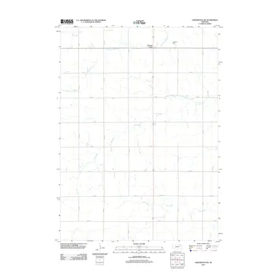
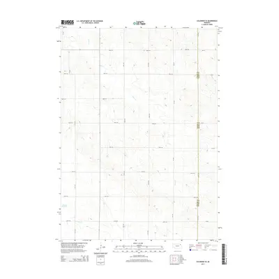
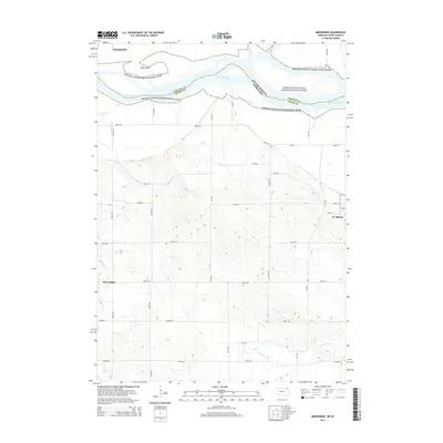
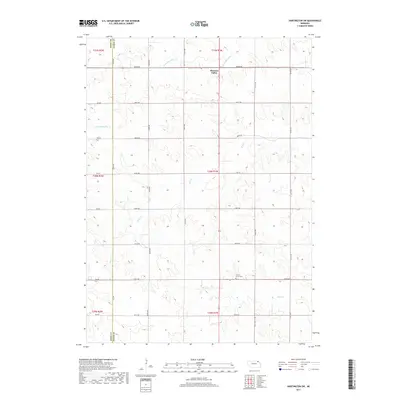
E Bow Cr and its various tributaries wind through the sectioned farmland of Northeast Nebraska, defining the drainage patterns across this rural landscape. The topography is dominated by the Public Land Survey System, where a rigid grid of gravel section roads like 882nd Rd and 572 Ave dictates the movement of people and goods between agricultural holdings. This survey highlights the eastern edge of Cedar County at the Cedar Co Dixon Co boundary, showing how the land has been partitioned for modern production while remaining tethered to the original township and range divisions. In the southern portion of the quadrangle, the headwaters of N Logan Cr appear, marking a subtle shift in the local watershed. This document is a precise record of rural infrastructure, tracing the exact alignment of section-line roads and the natural flow of the creeks that intersect them.
Find a feature on this map
27 named features on this map. Tap any name to fly to it.
Don’t see what you’re looking for? This feature index may not catch every label — zoom into the map to look around manually.
Map Details
Editions of this 2021 Coleridge SE Map
This is the sole edition of this map. No revisions or reprints were ever made.
Historical Maps of Clark Township Through Time
24 maps found
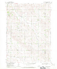
1968 Coleridge SE
Cedar County, NE
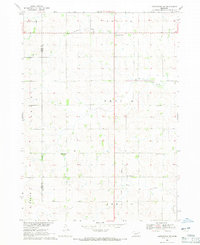
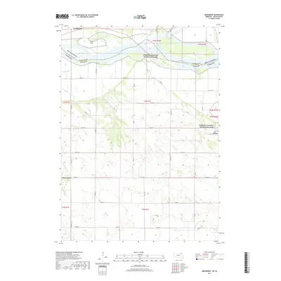
1968 Hartington SW
Cedar County, NE
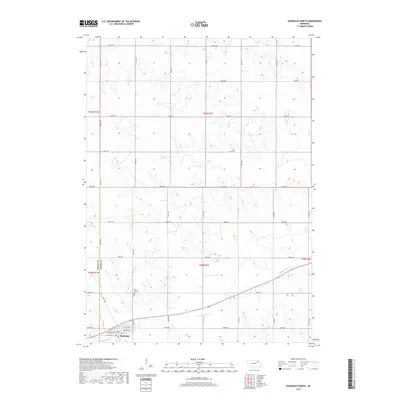
1968 Menominee
Cedar County, NE
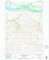
1971 Randolph North
Cedar County, NE
2011 Coleridge SE
Cedar County, NE
2011 Hartington SW
Cedar County, NE
2011 Menominee
Cedar County, NE
2011 Randolph North
Cedar County, NE
2011 Saint Helena
Cedar County, NE
2014 Coleridge SE
Cedar County, NE
2014 Hartington SW
Cedar County, NE
2014 Menominee
Cedar County, NE
2014 Randolph North
Cedar County, NE
2014 Saint Helena
Cedar County, NE
2017 Coleridge SE
Cedar County, NE
2017 Hartington SW
Cedar County, NE
2017 Menominee
Cedar County, NE
2017 Randolph North
Cedar County, NE
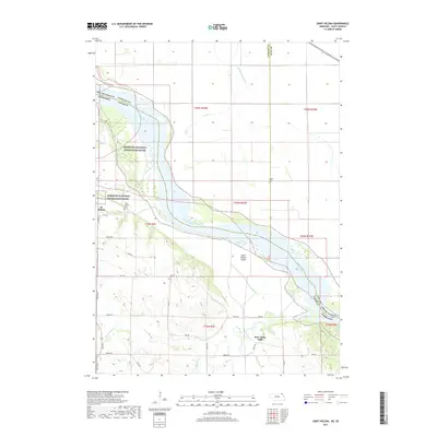
2017 Saint Helena
Cedar County, NE
2021 Coleridge SE
Cedar County, NE
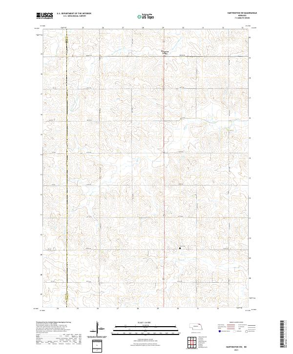
2021 Hartington SW
Cedar County, NE
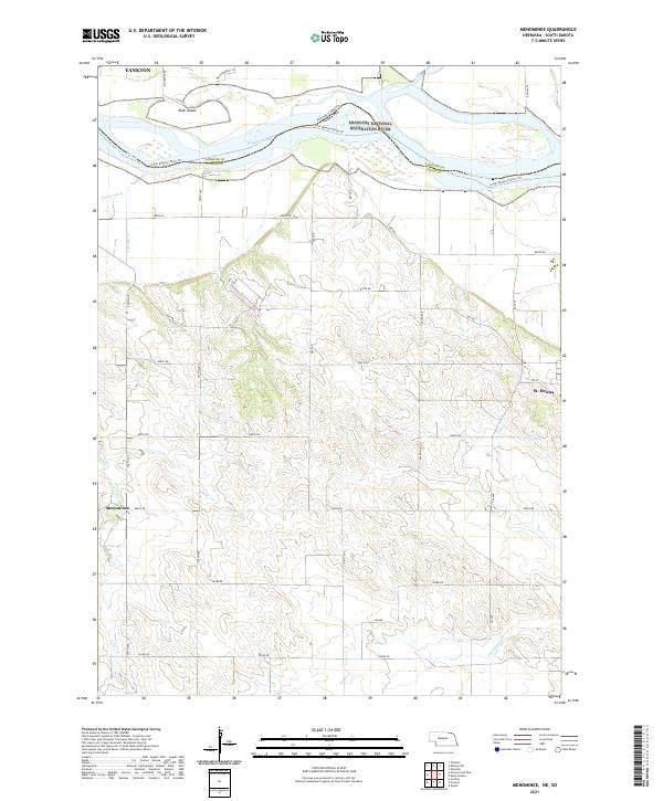
2021 Menominee
Cedar County, NE
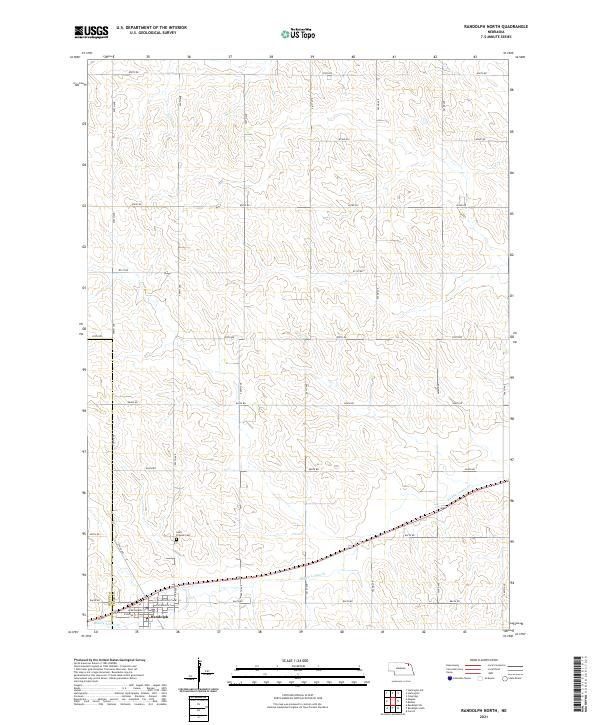
2021 Randolph North
Cedar County, NE
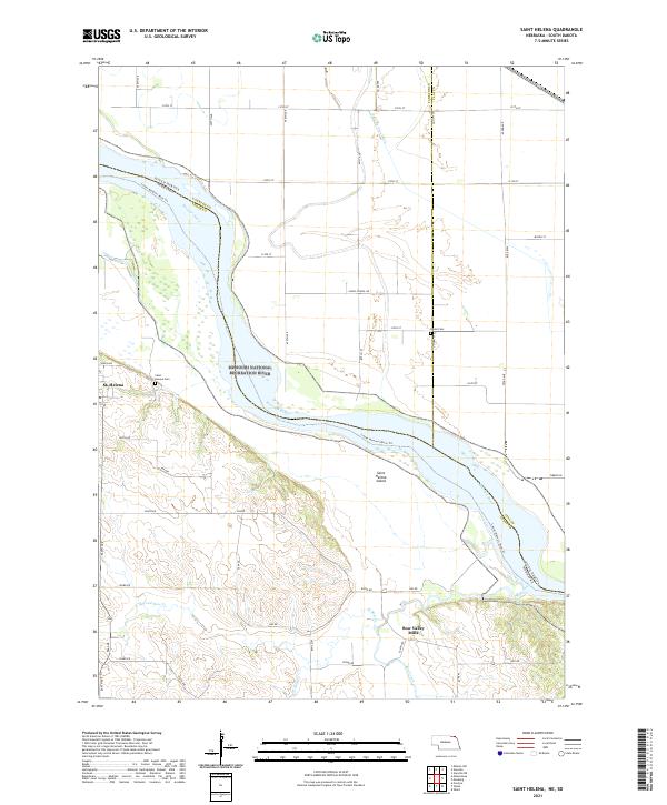
2021 Saint Helena
Cedar County, NE