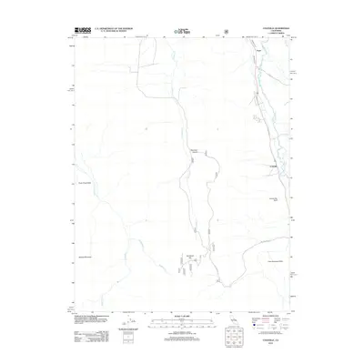
2012 Map of Coleville
USGS Topo · Published 2012About this map
Coleville and Topaz anchor this high-elevation landscape in eastern California, where the W Walker River and its intricate network of irrigation channels like Swager Ditch and Alkali Ditch define the local agriculture. The terrain shifts from the level expanse of Little Antelope Valley and Silver King Valley to the prominent heights of Mineral Mountain. Geologic features such as Centennial Bluff and Napoleon Canyon overlook the meandering course of Slinkard Cr, while Rodriguez Flat provides a high-plateau landmark. This 2012 survey illustrates the enduring importance of water management in this arid region, showing the proximity of early settlements to the river systems and the rugged transition toward the high peaks. The presence of Golden Gate Rd and various forest service routes highlights the intersection of modern access with the established pastoral lands of Mono County.
Find a feature on this map
18 named features on this map. Tap any name to fly to it.
Don’t see what you’re looking for? This feature index may not catch every label — zoom into the map to look around manually.
Map Details
Editions of this 2012 Coleville Map
This is the sole edition of this map. No revisions or reprints were ever made.
Other maps of this area

1889 · Markleeville
USGS Topo · 1:125,000

1891 · Markleeville
USGS Topo · 1:125,000

1891 · Wellington
USGS Topo · 1:125,000

1893 · Markleeville
USGS Topo · 1:125,000

1893 · Wellington
USGS Topo · 1:125,000

1896 · Dardanelles
USGS Topo · 1:125,000

1898 · Dardanelles
USGS Topo · 1:125,000

1909 · Bridgeport
USGS Topo · 1:125,000

1911 · Bridgeport
USGS Topo · 1:125,000

1920 · Bridgeport
USGS Topo · 1:125,000