
1911 Map of Bridgeport
USGS Topo · Published 1911About this map
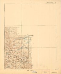
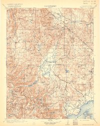
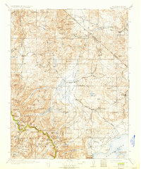
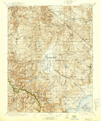
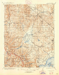
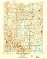
Bridgeport serves as the central hub of this high-altitude landscape, where the East Walker River flows through the Huntoon Valley. At the turn of the century, the region was defined by a rugged mining economy, anchored by the famous settlement of Bodie and the active Masonic Liberty Mine to the north. Further south, the map details the early northern boundaries of Yosemite National Park, where landmarks like Twin Lakes and Matterhorn Pk sit among the high peaks of the Sierra. Transportation routes are marked by historic stops such as Conways Stage Station and Hardy Station, while the industrial footprint is visible at the Dunderberg Mine and the Stamp Mill near Lundy. The terrain is dotted with early 20th-century ranching outposts including Mormon Ranch and Dechambeaus Ranch, illustrating the transition from remote wilderness to a managed frontier of resource extraction and alpine grazing.
Find a feature on this map
165 named features on this map. Tap any name to fly to it.
Don’t see what you’re looking for? This feature index may not catch every label — zoom into the map to look around manually.
Map Details
Editions of this 1911 Bridgeport Map
7 editions found
Other maps of this area

1889 · Markleeville
USGS Topo · 1:125,000

1891 · Markleeville
USGS Topo · 1:125,000

1891 · Wellington
USGS Topo · 1:125,000

1893 · Markleeville
USGS Topo · 1:125,000

1893 · Wellington
USGS Topo · 1:125,000

1896 · Dardanelles
USGS Topo · 1:125,000

1897 · Yosemite
USGS Topo · 1:125,000

1898 · Dardanelles
USGS Topo · 1:125,000

1900 · Yosemite
USGS Topo · 1:125,000

1901 · Mt. Lyell
USGS Topo · 1:125,000