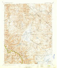
1911 Map of Bridgeport
USGS Topo · Published 1933About this map
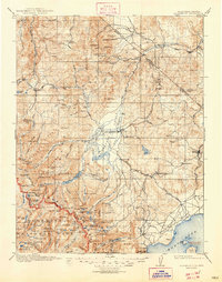
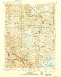
The Sweetwater Mountains and high sierra peaks dominate this landscape during a period of active high-altitude mining and ranching. The historic settlement of Bodie serves as a major focal point in the east, while Bridgeport acts as the central hub near the confluence of Buckeye Creek and Robinson Creek. The map documents a specialized mountain economy where mining districts like Masonic and Belfort operated alongside remote outposts such as Conways Stage Station and Hardy Station.
Find a feature on this map
147 named features on this map. Tap any name to fly to it.
Don’t see what you’re looking for? This feature index may not catch every label — zoom into the map to look around manually.
Map Details
Editions of this 1911 Bridgeport Map
7 editions found

Other maps of this area

1889 · Markleeville
USGS Topo · 1:125,000

1891 · Markleeville
USGS Topo · 1:125,000

1891 · Wellington
USGS Topo · 1:125,000

1893 · Markleeville
USGS Topo · 1:125,000

1893 · Wellington
USGS Topo · 1:125,000

1896 · Dardanelles
USGS Topo · 1:125,000

1897 · Yosemite
USGS Topo · 1:125,000

1898 · Dardanelles
USGS Topo · 1:125,000

1900 · Yosemite
USGS Topo · 1:125,000

1901 · Mt. Lyell
USGS Topo · 1:125,000