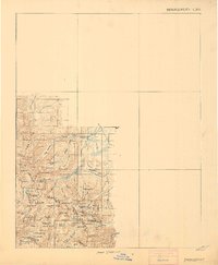
1911 Map of Bridgeport
USGS Topo · Published 1911About this map
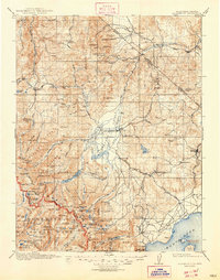
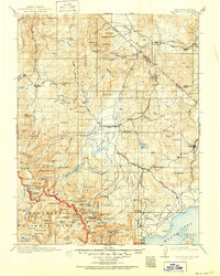
Buckeye Creek and its neighboring Buckeye Hot Spr define the drainage of this high-altitude landscape where Mono and Tuolumne counties meet. This 1909 proof depicts a terrain shaped by heavy glaciation, visible in the concentrated clusters of alpine basins such as Twin Lakes, Virginia Lakes, and Robinson Lakes. The mapping of the Tuolumne Co Mono Co boundary line across the crest of the Sierra Nevada highlights the importance of watershed divides in early jurisdictional surveys. Notable land use is indicated by the presence of Summers Back Pasture and the naming of numerous peaks like Hanna Mtn and Victoria Pk, reflecting the era's reliance on visible landmarks for navigation through the High Sierra. Researchers will find a preserved look at the drainage patterns and early naming conventions before the heavy development of modern recreational infrastructure in the region.
Find a feature on this map
88 named features on this map. Tap any name to fly to it.
Don’t see what you’re looking for? This feature index may not catch every label — zoom into the map to look around manually.
Map Details
Editions of this 1911 Bridgeport Map
7 editions found

Other maps of this area

1889 · Markleeville
USGS Topo · 1:125,000

1891 · Markleeville
USGS Topo · 1:125,000

1891 · Wellington
USGS Topo · 1:125,000

1893 · Markleeville
USGS Topo · 1:125,000

1893 · Wellington
USGS Topo · 1:125,000

1896 · Dardanelles
USGS Topo · 1:125,000

1897 · Yosemite
USGS Topo · 1:125,000

1898 · Dardanelles
USGS Topo · 1:125,000

1900 · Yosemite
USGS Topo · 1:125,000

1901 · Mt. Lyell
USGS Topo · 1:125,000