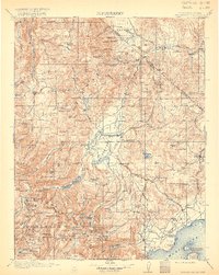
1911 Map of Bridgeport
USGS Topo · Published 1920About this map
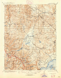
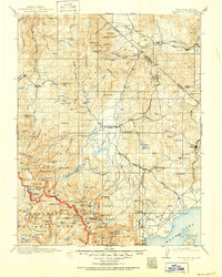
The high Sierra landscape surrounding Bridgeport is defined by a legacy of early high-altitude mining and ranching. Surveyed between 1905 and 1909, this map illustrates the industrial footprint of the era, from the Masonic Mine and the May Lundy Mine to a Stamp Mill located near the headwaters of the East Walker River. These operations supported isolated mountain settlements like Belfort and Star City, while travelers relied on stops like Conways Stage Station and Hardy Station.
Find a feature on this map
163 named features on this map. Tap any name to fly to it.
Don’t see what you’re looking for? This feature index may not catch every label — zoom into the map to look around manually.
Map Details
Editions of this 1911 Bridgeport Map
7 editions found

Other maps of this area

1889 · Markleeville
USGS Topo · 1:125,000

1891 · Markleeville
USGS Topo · 1:125,000

1891 · Wellington
USGS Topo · 1:125,000

1893 · Markleeville
USGS Topo · 1:125,000

1893 · Wellington
USGS Topo · 1:125,000

1896 · Dardanelles
USGS Topo · 1:125,000

1897 · Yosemite
USGS Topo · 1:125,000

1898 · Dardanelles
USGS Topo · 1:125,000

1900 · Yosemite
USGS Topo · 1:125,000

1901 · Mt. Lyell
USGS Topo · 1:125,000