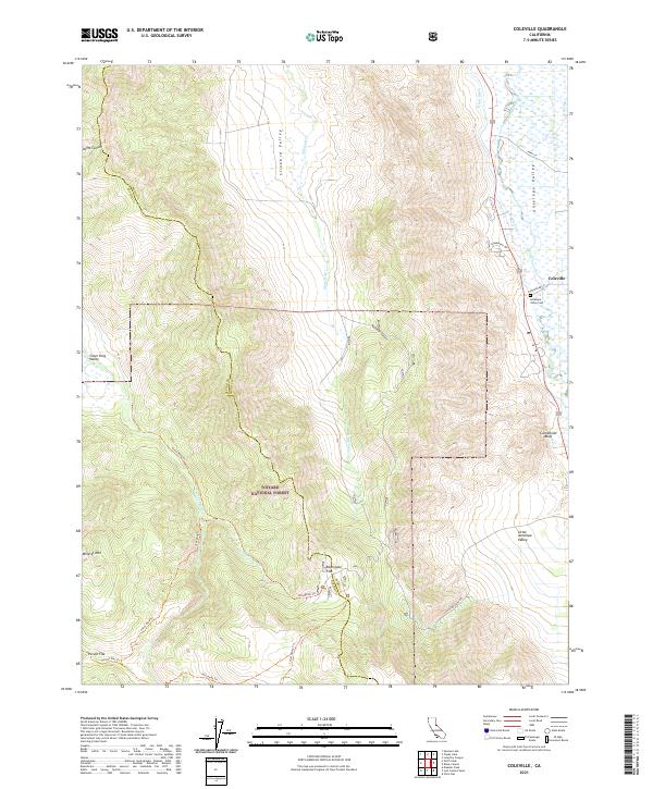
2021 Map of Coleville
USGS Topo · Published 2021About this map
Antelope Valley serves as a focal point for settlement and agriculture in this corner of Mono County, centered on the community of Coleville. The landscape transitions from the riparian corridor of the West Walker River to the high elevations of the Toiyabe National Forest, where peaks like Mineral Mtn rise above the valley floor. Evidence of early water management is clear through infrastructure such as the Alkali Ditch and Swager Ditch, which redirect water across the arid terrain to support local homesteads.
Find a feature on this map
37 named features on this map. Tap any name to fly to it.
Don’t see what you’re looking for? This feature index may not catch every label — zoom into the map to look around manually.
Map Details
Editions of this 2021 Coleville Map
This is the sole edition of this map. No revisions or reprints were ever made.
Other maps of this area

1889 · Markleeville
USGS Topo · 1:125,000

1891 · Markleeville
USGS Topo · 1:125,000

1891 · Wellington
USGS Topo · 1:125,000

1893 · Markleeville
USGS Topo · 1:125,000

1893 · Wellington
USGS Topo · 1:125,000

1896 · Dardanelles
USGS Topo · 1:125,000

1898 · Dardanelles
USGS Topo · 1:125,000

1909 · Bridgeport
USGS Topo · 1:125,000

1911 · Bridgeport
USGS Topo · 1:125,000

1920 · Bridgeport
USGS Topo · 1:125,000