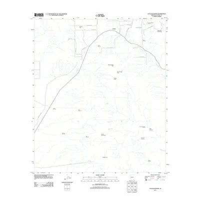
2011 Map of College Peaks
USGS Topo · Published 2011About this map
Cazador and the surrounding high desert of Cochise County are defined by a network of ranching infrastructure and desert landforms in this recent survey. The landscape is punctuated by a series of critical water sources and landmarks, including Johnson Windmill, Watson Windmill, and Lease Windmill, which support local ranching operations across Poverty Flat. The topography is dominated by the College Peaks, featuring North College Peak and South Collge Peak, as well as the Perilla Mountains and Pedregosa Mountains. These ranges create a complex of drainage patterns such as Silver Creek, Hackberry Wash, and Wildcat Wash. Remote airstrips like the Circle H Ranch Airport highlight the logistical challenges of this high-elevation terrain. Local history researchers can trace old ranch roads and spring sites like Upper Tincup Spring and Lower Tincup Spring, which have long been essential for survival in this arid corner of Arizona.
Find a feature on this map
45 named features on this map. Tap any name to fly to it.
Don’t see what you’re looking for? This feature index may not catch every label — zoom into the map to look around manually.
Map Details
Editions of this 2011 College Peaks Map
This is the sole edition of this map. No revisions or reprints were ever made.
Other maps of this area

1914 · Douglas
USGS Topo · 1:62,500

1916 · Pearce
USGS Topo · 1:125,000

1916 · Douglas
USGS Topo · 1:125,000

1917 · Chiricahua
USGS Topo · 1:125,000

1919 · Douglas
USGS Topo · 1:125,000

1919 · Perilla
USGS Topo · 1:125,000

1919 · Chiricahua
USGS Topo · 1:125,000

1922 · Swisshelm
USGS Topo · 1:62,500

1925 · Douglas
USGS Topo · 1:62,500

1926 · Pedregosa
USGS Topo · 1:62,500