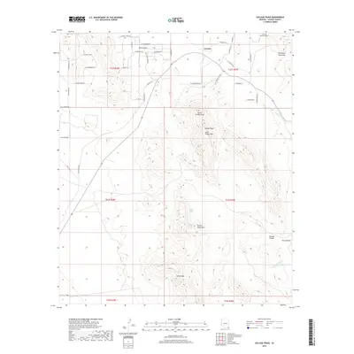
2018 Map of College Peaks
USGS Topo · Published 2018About this map
Cazador and Poverty Flat anchor the northern landscape of this southeastern Arizona territory, where high desert elevations meet the foothills of major mountain ranges. The terrain is defined by the prominent College Peaks, including North College Peak and South College Peak, which rise between the Perilla Mountains to the south and the Pedregosa Mountains to the northeast. Water sources are critical markers in this arid environment, evidenced by isolated features like Bass Tank, Lower Tincup Spring, and Upper Tincup Spring. The map reveals a network of local roads and trails, such as Catador Trl and N Tufa Stone Rd, that navigate the complex topography of canyons and washes, including Georges Canyon and Wildcat Wash. This detailed 2018 record shows how modern naming and land management continue to interact with the natural gaps and peaks of the high Cochise County desert.
Find a feature on this map
51 named features on this map. Tap any name to fly to it.
Don’t see what you’re looking for? This feature index may not catch every label — zoom into the map to look around manually.
Map Details
Editions of this 2018 College Peaks Map
This is the sole edition of this map. No revisions or reprints were ever made.
Other maps of this area

1914 · Douglas
USGS Topo · 1:62,500

1916 · Pearce
USGS Topo · 1:125,000

1916 · Douglas
USGS Topo · 1:125,000

1917 · Chiricahua
USGS Topo · 1:125,000

1919 · Douglas
USGS Topo · 1:125,000

1919 · Perilla
USGS Topo · 1:125,000

1919 · Chiricahua
USGS Topo · 1:125,000

1922 · Swisshelm
USGS Topo · 1:62,500

1925 · Douglas
USGS Topo · 1:62,500

1926 · Pedregosa
USGS Topo · 1:62,500