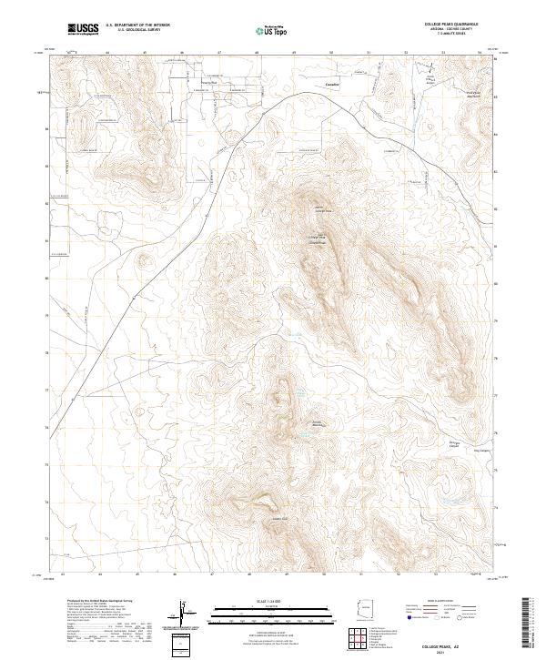
2021 Map of College Peaks
USGS Topo · Published 2021About this map
Cazador and Poverty Flat sit at the northern edge of this high-desert landscape in Cochise County, where the transition from flat basins to steep mountain terrain is sharply defined. The Perilla Mountains dominate the central portion of the sheet, culminating at the prominent summits of College Peaks, which include both North College Peak and South College Peak. This rugged uplift is flanked by the Pedregosa Mountains to the northeast, creating a complex series of ridges and drainages.
Find a feature on this map
53 named features on this map. Tap any name to fly to it.
Don’t see what you’re looking for? This feature index may not catch every label — zoom into the map to look around manually.
Map Details
Editions of this 2021 College Peaks Map
This is the sole edition of this map. No revisions or reprints were ever made.
Other maps of this area

1914 · Douglas
USGS Topo · 1:62,500

1916 · Pearce
USGS Topo · 1:125,000

1916 · Douglas
USGS Topo · 1:125,000

1917 · Chiricahua
USGS Topo · 1:125,000

1919 · Douglas
USGS Topo · 1:125,000

1919 · Perilla
USGS Topo · 1:125,000

1919 · Chiricahua
USGS Topo · 1:125,000

1922 · Swisshelm
USGS Topo · 1:62,500

1925 · Douglas
USGS Topo · 1:62,500

1926 · Pedregosa
USGS Topo · 1:62,500