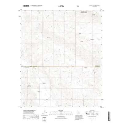
2018 Map of Collins Valley
USGS Topo · Published 2018About this map
The high desert and mountain landscapes of San Diego and Riverside counties converge at Collins Valley, a significant topographical basin dominated by the drainage of Coyote Creek. This 2018 survey detail shows a complex network of canyons and ridges, including Salvador Canyon and South Fork Salvador Canyon, which feed into the valley floor. The area is defined by its arid hydrology, featuring seasonal watercourses like White Wash and Dry Wash, along with vital desert water sources such as Cottonwood Spring and Hidden Spring.
Find a feature on this map
29 named features on this map. Tap any name to fly to it.
Don’t see what you’re looking for? This feature index may not catch every label — zoom into the map to look around manually.
Map Details
Editions of this 2018 Collins Valley Map
This is the sole edition of this map. No revisions or reprints were ever made.
Other maps of this area

1901 · Southern California Sheet No. 1
USGS Topo · 1:250,000

1901 · San Jacinto
USGS Topo · 1:125,000

1903 · Ramona
USGS Topo · 1:125,000

1904 · Indio
USGS Topo · 1:125,000

1904 · Southern California Sheet No. 2
USGS Topo · 1:250,000

1904 · Southern California Sheet No. 1
USGS Topo · 1:250,000

1931 · Vallecito
USGS Topo · 1:125,000

1939 · Warner Springs
USGS Topo · 1:62,500

1940 · Hemet Reservoir
USGS Topo · 1:62,500

1941 · Toro Peak
USGS Topo · 1:62,500