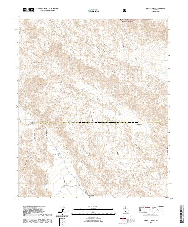
2021 Map of Collins Valley
USGS Topo · Published 2021About this map
The San Bernardino National Forest dominates the northern reaches of this map, transitioning into the complex desert topography of the San Diego County and Riverside County border. This desert landscape is defined by the broad expanse of Collins Valley, where the ephemeral waters of Coyote Cr navigate through deep incisions like Coyote Canyon and Salvador Canyon. The presence of Middle Willows and Lower Willows suggests critical riparian oases within this arid environment, historically significant as water sources and travel waypoints.
Find a feature on this map
27 named features on this map. Tap any name to fly to it.
Don’t see what you’re looking for? This feature index may not catch every label — zoom into the map to look around manually.
Map Details
Editions of this 2021 Collins Valley Map
This is the sole edition of this map. No revisions or reprints were ever made.
Other maps of this area

1901 · Southern California Sheet No. 1
USGS Topo · 1:250,000

1901 · San Jacinto
USGS Topo · 1:125,000

1903 · Ramona
USGS Topo · 1:125,000

1904 · Indio
USGS Topo · 1:125,000

1904 · Southern California Sheet No. 2
USGS Topo · 1:250,000

1904 · Southern California Sheet No. 1
USGS Topo · 1:250,000

1931 · Vallecito
USGS Topo · 1:125,000

1939 · Warner Springs
USGS Topo · 1:62,500

1940 · Hemet Reservoir
USGS Topo · 1:62,500

1941 · Toro Peak
USGS Topo · 1:62,500