
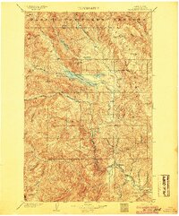
1920 Map of Colockum Pass
USGS Topo · Published 1920About this map
The Wenatchee Mountains and Jump Off Ridge dominate the western terrain of this 1920 survey, giving way to a network of ranches and schools that defined early Kittitas County. Along the Columbia River, transport is anchored by the Trinidad Ferry and Haywood Ferry, providing vital crossings before the era of modern bridges. The Great Northern railroad skirts the northeastern bank, tracing the river's edge near Crescent Bar.
Find a feature on this map
58 named features on this map. Tap any name to fly to it.
Don’t see what you’re looking for? This feature index may not catch every label — zoom into the map to look around manually.
Map Details
Editions of this 1920 Colockum Pass Map
This is the sole edition of this map. No revisions or reprints were ever made.
Other maps of this area

1897 · Mount Stuart
USGS Topo · 1:125,000

1899 · Ellensburg
USGS Topo · 1:125,000

1901 · Chelan
USGS Topo · 1:125,000

1901 · Ellensburg
USGS Topo · 1:125,000

1901 · Chiwaukum
USGS Topo · 1:125,000

1902 · Mount Stuart
USGS Topo · 1:125,000
1904 · Chiwaukum
USGS Topo · 1:125,000
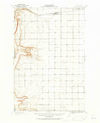
1909 · Quincy
USGS Topo · 1:62,500
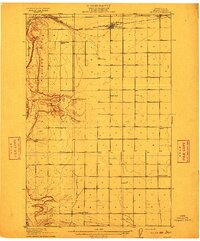
1910 · Quincy
USGS Topo · 1:62,500
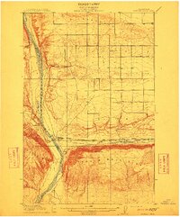
1912 · Beverly
USGS Topo · 1:62,500