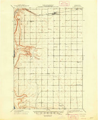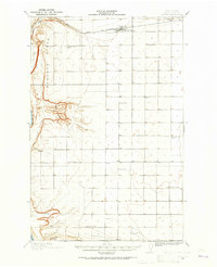
1909 Map of Quincy
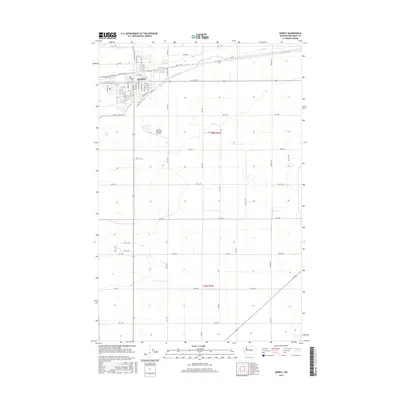
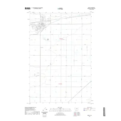
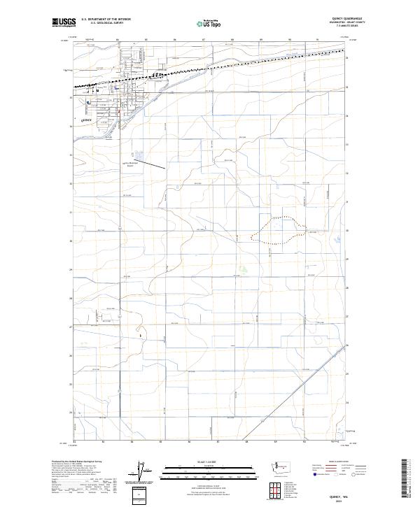
USGS Topo · Published 1965About this map
The Great Northern RR cuts across the northern desert landscape of this early twentieth-century survey, anchoring the town of Quincy as a vital rail hub. The terrain is defined by dramatic geological shifts, from the high elevation of Babcock Ridge to the deep depressions of Potholes Coulee, eventually dropping down to the Columbia River in the west. This period of development shows a rural society heavily invested in education, with a remarkably high density of school districts serving the scattered ranching and farming population.
Find a feature on this map
19 named features on this map. Tap any name to fly to it.
Don’t see what you’re looking for? This feature index may not catch every label — zoom into the map to look around manually.
Map Details
Editions of this 1909 Quincy Map
This is the sole edition of this map. No revisions or reprints were ever made.
Historical Maps of Quincy Through Time
8 maps found