Loading...
Loading map...1910 Map of Quincy
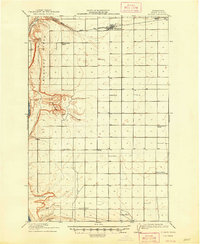
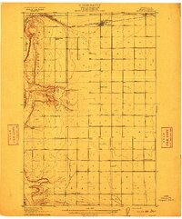
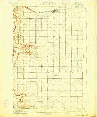
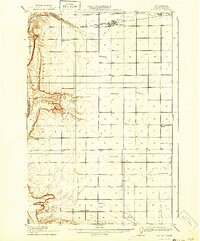
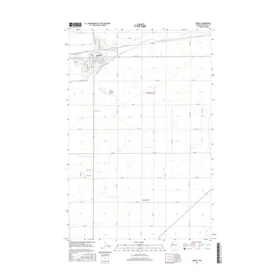
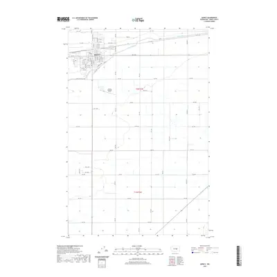
USGS Topo · Published 1948About this map
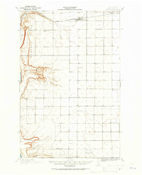
The Great Northern RR cuts across the northern desert landscape of Grant County, anchoring the town of Quincy at a time when the region relied heavily on rail access and isolated wells for survival. This 1910 survey, reprinted in 1948, illustrates an expansive territory defined by significant geological features like the Babcock Ridge and the Frenchman Hills. The Columbia River forms a powerful western boundary, carving through the terrain near Frenchman Springs.
Find a feature on this map
22 named features on this map. Tap any name to fly to it.
Don’t see what you’re looking for? This feature index may not catch every label — zoom into the map to look around manually.
Map Details
Date Portrayed1910
Date Published1948
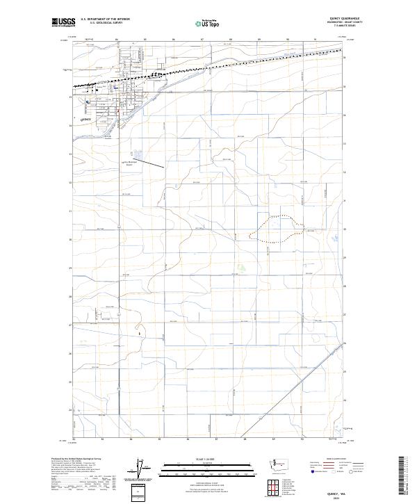
PublisherU.S. Geological Survey
Map TypeTopographic
Scale1:62,500
Physical Dimensions17.1 x 20.8 inches
Editions of this 1910 Quincy Map
4 editions found
Historical Maps of Quincy Through Time
8 maps found
Featured Locations
Source Details
SourceU.S. Geological Survey
CopyrightPublic Domain