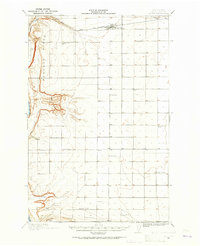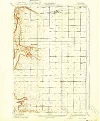
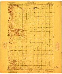
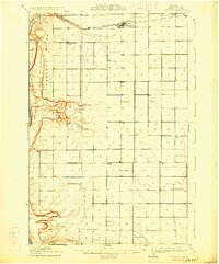
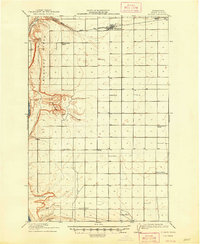
1910 Map of Quincy
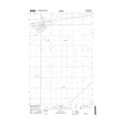
USGS Topo · Published 1940About this map
The Great Northern railway line anchors the developing township of Quincy at the northern edge of this Grant County survey. Situated on a high plateau above the Columbia River, the landscape transitions from the sharp escarpments of Babcock Ridge to the complex depressions of The Potholes. This early twentieth-century survey captures a nascent agricultural community defined by its dispersed rural school system, including Mountain View School, Evergreen School, and Glendale School, which served the scattered homesteads before the advent of major irrigation projects. To the south, the Frenchman Hills and Frenchman Springs mark the more topographically varied terrain where water sources like Spring and various wells were critical for settlement. The map illustrates the fundamental relationship between the railway and the isolated outposts like Burke during the region's early growth.
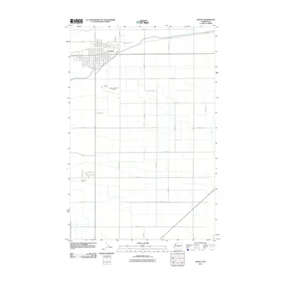
Find a feature on this map
20 named features on this map. Tap any name to fly to it.
Don’t see what you’re looking for? This feature index may not catch every label — zoom into the map to look around manually.
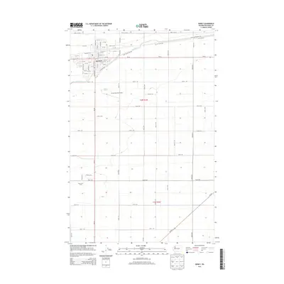
Map Details
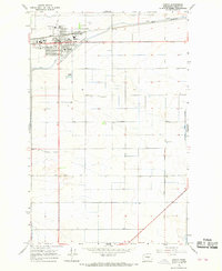
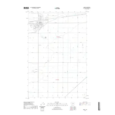
Editions of this 1910 Quincy Map
4 editions found
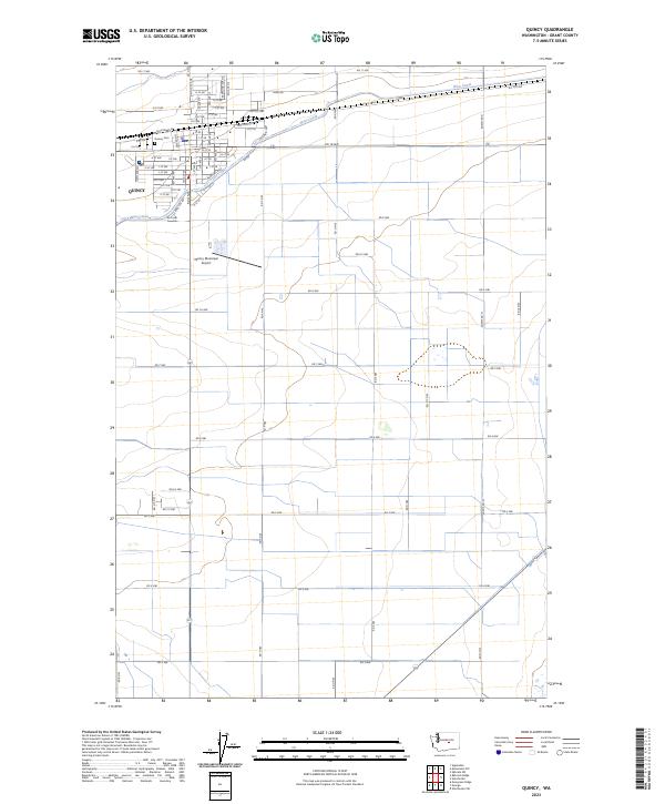
Historical Maps of Quincy Through Time
8 maps found