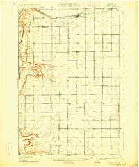
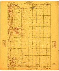
1910 Map of Quincy
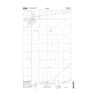
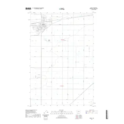
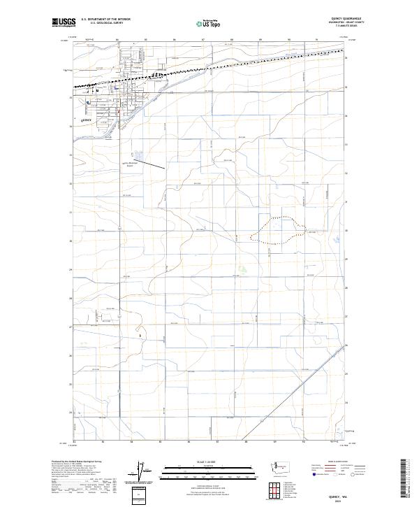
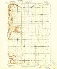
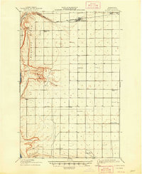
USGS Topo · Published 1926About this map
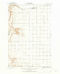
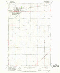
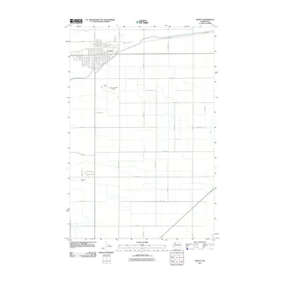
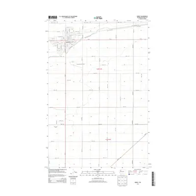
Quincy and the surrounding high plains of Grant County are defined by a network of rural schoolhouses and the critical path of the Great Northern RR in this early twentieth-century survey. The landscape transitions sharply from the agricultural flats near Burke to the dramatic relief of Babcock Ridge and the Columbia River gorge. This period captures a highly localized educational system, where institutions like Prairie School, Evergreen School, and Glendale School served scattered homesteading families long before modern consolidation. Significant geological features, including the depression known as The Potholes and the southern rise of the Frenchman Hills, break the expansive plateau. The presence of Frenchman Springs and various marked wells highlights the essential role of water access for early settlers in this arid region of Central Washington.
Find a feature on this map
20 named features on this map. Tap any name to fly to it.
Don’t see what you’re looking for? This feature index may not catch every label — zoom into the map to look around manually.
Map Details
Editions of this 1910 Quincy Map
4 editions found
Historical Maps of Quincy Through Time
8 maps found