
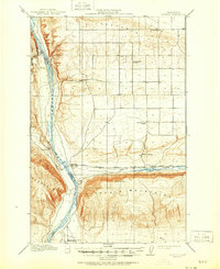
1912 Map of Beverly
USGS Topo · Published 1912About this map
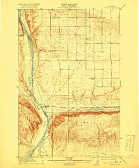
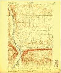
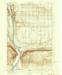
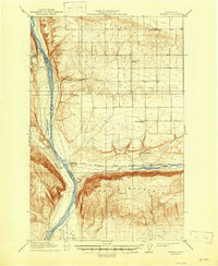
The Columbia River carves a deep path through Central Washington, defining the boundary between Kittitas and Grant counties. This 1912 survey illustrates the early industrial footprint of the Chicago Milwaukee and Puget Sound RR as it spans the river near Beverly, following the course of Crab Creek eastward. The landscape is dominated by the massive east-west ridges of the Frenchman Hills and the Saddle Mountains, providing a detailed look at the region's topography before extensive modern irrigation and dam projects. Local life is anchored at Pleasant Hill School and Mountain View School, while small rail settlements like Jericho and Cohassett dot the lines of travel. The presence of Priest Rapids to the south and the high vantage point of Sentinel Mtn emphasize the natural obstacles that early surveyors and engineers navigated while establishing these transportation corridors.
Find a feature on this map
19 named features on this map. Tap any name to fly to it.
Don’t see what you’re looking for? This feature index may not catch every label — zoom into the map to look around manually.
Map Details
Editions of this 1912 Beverly Map
6 editions found
Other maps of this area

1909 · Quincy
USGS Topo · 1:62,500

1910 · Quincy
USGS Topo · 1:62,500

1910 · Winchester
USGS Topo · 1:62,500

1911 · Red Rock
USGS Topo · 1:62,500

1916 · Coyote Rapids
USGS Topo · 1:62,500

1917 · Priest Rapids
USGS Topo · 1:62,500

1920 · Colockum Pass
USGS Topo · 1:125,000

1922 · Colockum Pass
USGS Topo · 1:125,000

1936 · Hog Ranch Buttes
USGS Topo · 1:48,000

1939 · Boylston
USGS Topo · 1:48,000