Loading...
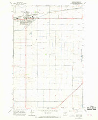
Loading map...1966 Map of Quincy
USGS Topo · Published 1968About this map
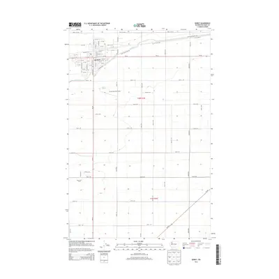
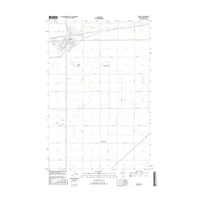
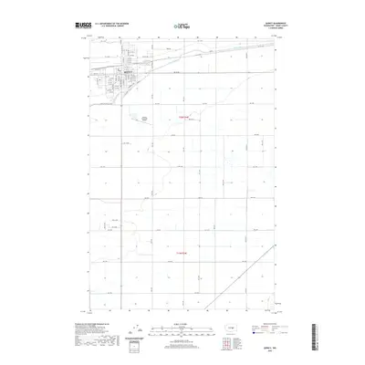
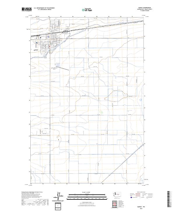
The agricultural development of Grant County is clearly defined here by an extensive irrigation network, including the West Great Northern Canal and a prominent Aqueduct. Quincy serves as the central hub, situated along the Great Northern railroad and supporting local civic life through the Grange Hall and Quincy Valley Hospital. The town's educational infrastructure is well-marked, from Mountain View Sch on the northern edge to the centrally located Pioneer Sch.
Find a feature on this map
21 named features on this map. Tap any name to fly to it.
Don’t see what you’re looking for? This feature index may not catch every label — zoom into the map to look around manually.
Map Details
Date Portrayed1966
Date Published1968
PublisherU.S. Geological Survey
Map TypeTopographic
Scale1:24,000
Physical Dimensions22.1 x 26.9 inches
Editions of this 1966 Quincy Map
This is the sole edition of this map. No revisions or reprints were ever made.
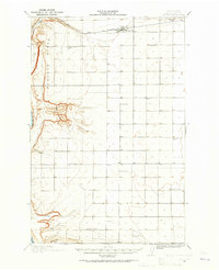
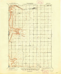
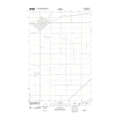
Historical Maps of Quincy Through Time
8 maps found
Featured Locations
Source Details
SourceU.S. Geological Survey
CopyrightPublic Domain